Pinfenshan(屏風山)
Mt. Pingfeng is 3250 meters above sea level. It is ranked #60 on the list of 100 peaks,and located on Takkiri river (塔次基里溪) between Xiulin Township, Hualien County. There is a summit mark No.6378 on the top. Pine trees are around the arrow bamboos on the top of the mountain. It is one of the nine tough mountain climbing courses. The mountain presents an N–S trend and is surrounded by rivers on 3 sides.
One-way distance is 8.55K long, rises 1800M up, and takes 12-15 hours to hike. The two-day trip is more suitable for the general hikers. Except for the view of Takkiri river and Mountain Hehuan Group, there is not much scenic beauty along the route, so it can be regarded as physical training.
Should be careful of stinging nettle leaves. It is not necessary to carry much water, because the river is sufficient to supply water.
Itinerary:
D+1日
Chiayi / Puli / Dayuling / Sōnglín(松林)camp
site at the intersection of the new path and the old path
(-612M+130M)
08:00 Chiayi /
National Highway No.3 bound for the North to Puli Exit / Tai 14
甲/ Wushe /
Cingjing / Wuling / Dayuling (elevation : 2565 meters)
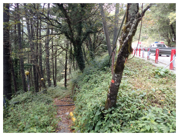
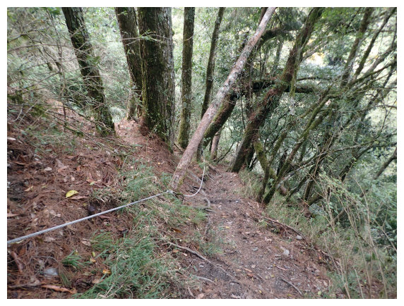
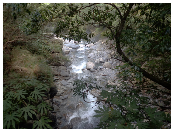
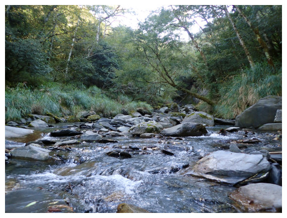
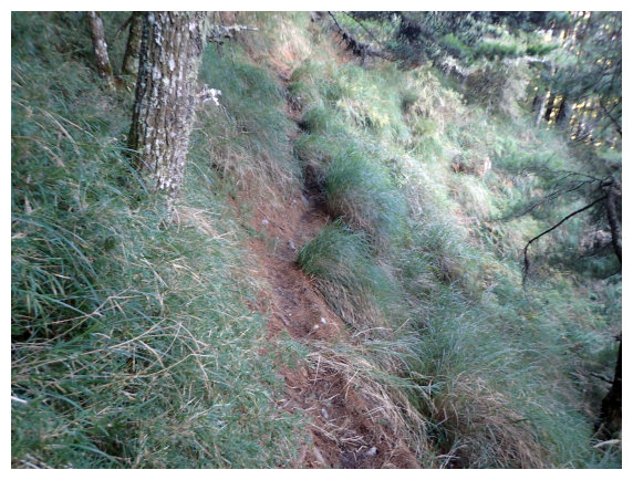
12:00 hiked from Dayuling trailhead. The trailhead was located near the intersection of Tai 14甲 and Tai 8 about 50 meters away . Went downward, a zigxag cement-road for 1 minute, and then took the right path down to the forest. You would hear the sound of river, and it was Takkiri river. During the rainy season, the path was really slippery.
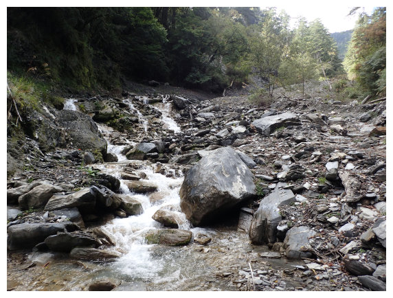
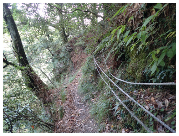
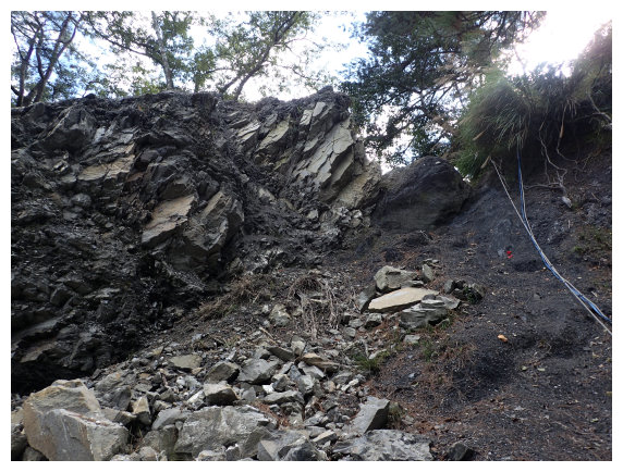
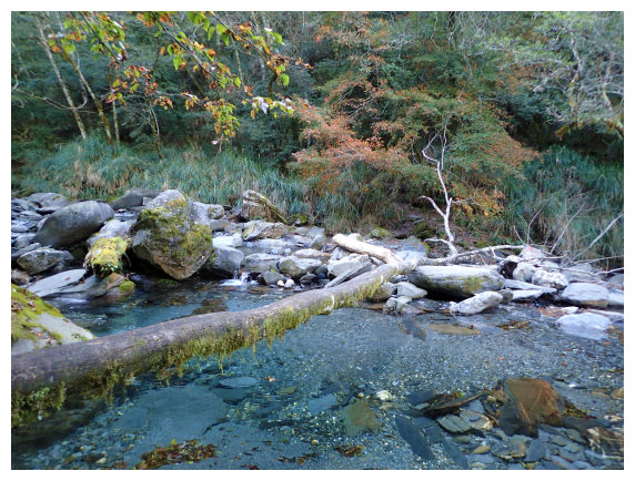
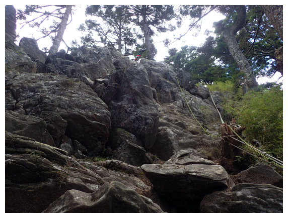
12:30 arrived at Takkiri River (it flowed fast). Went along the river downward 30 meters, walked across the river and then took a short break. Came across a couple who were hiking together once at 大小鬼湖. After chatting for 20 minutes, we took the right path along the mountain wall going up. A direction mark <to Pingfeng Mountain 014> .There were ropes helping climbing up.
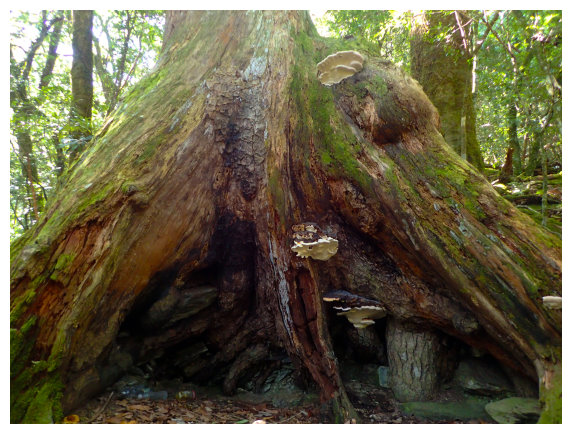
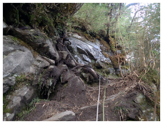
13:17 there was a water resource beside a big rock. Took the left path, pulled the rope up and then saw a cave of red Cypress. There were hundreds-year-old cypresses growing in this area.
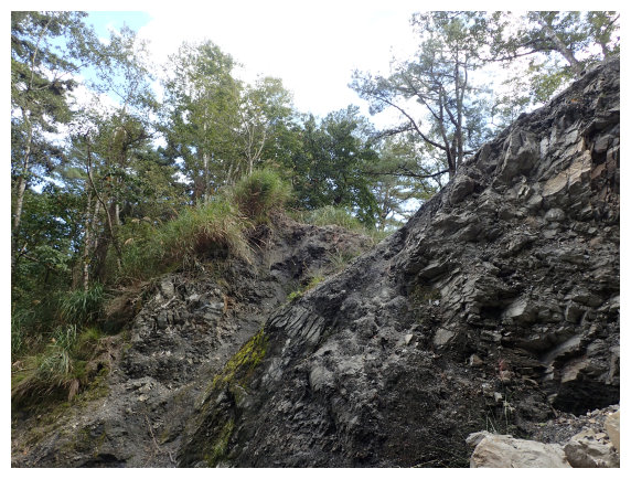
13:42 at a direction mark < to Dayuling 075>. The first landslide was 20 meters ahead.
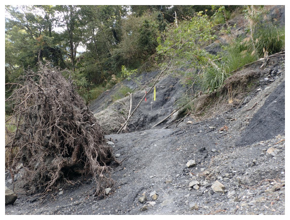
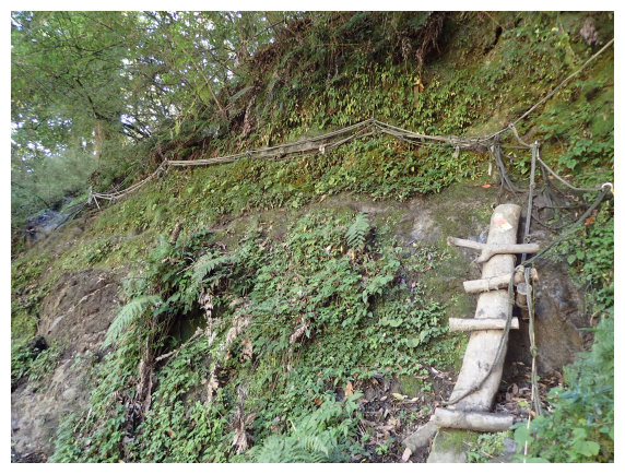
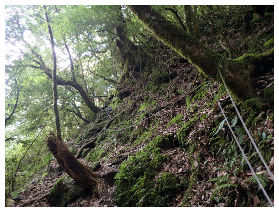
13:46 at the second landslide. Pulled the rope and climbed up for 10 meters to the ridge, then took the left path on the narrow ridge to go. Pulled the rope going down for 30 meters and then took the detour from the right to go down.
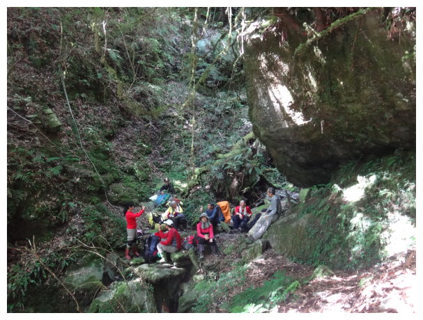
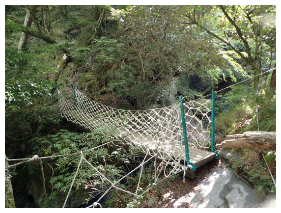
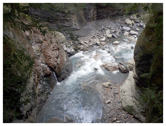
14:10 a suspension bridge (this was the lowest spot of this hiking route. The drop is 700 meters from the trailhead.) It was a U-shape valley. A waterfall on the right side was big. A campsite was 50 meters ahead. It could accommodate 20 people and had water resource. After a short break, walked up on zigzag path for 5 minutes.
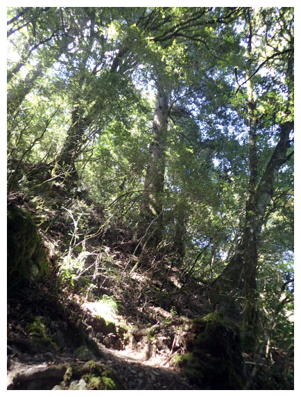
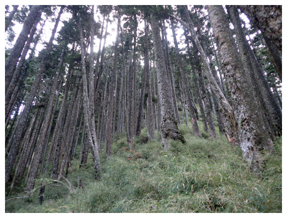
14:25 It was a pine forest. A campsite on the right. The path was covered with pine leaves, soft and flat.
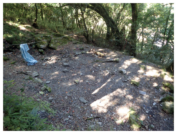
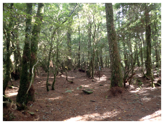
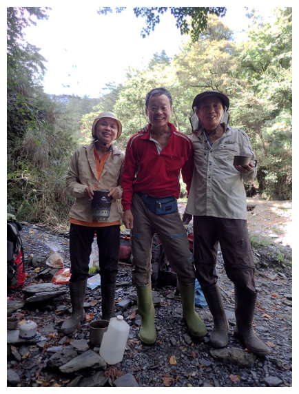
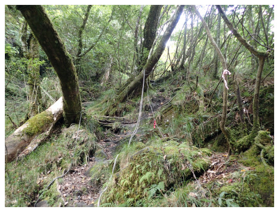
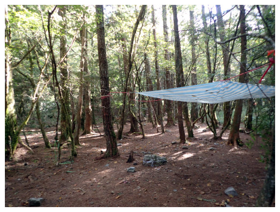
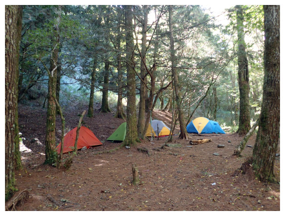
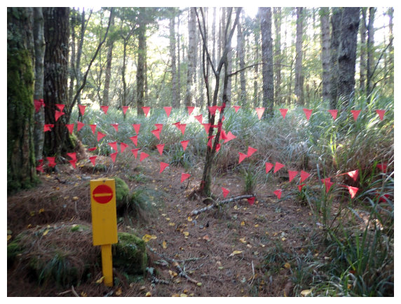
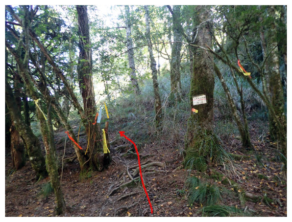
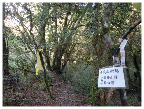
14:45 at the intersection of the new path and the old path. The campsite was in the pine forest. It could accommodate a lot of people. There was a triangle red sign blocked the way to the old path. A direction mark < to Pingfeng mountain 041 > was on the new path on the left. Walked up for 4 minutes on the new path and then went down to the river to get water for boiling drinking water. I forgot carrying gas for cooking meals this time and fortunately got help form mountaineer 阿布拉.Thanks for his kindness.
D+2日 A campsite at the intersection of the new path and the old path / Mt. Pingfeng / back to the campsite / Takkiri River / Dayuling trailhead / stayed at Kuan Yun Youth Hostel (+-1182M/+612M)
04:30 started hiking before dawn.
04:34 down to the river where I got water the last evening. Across the river, followed the directions and walked in the forest.
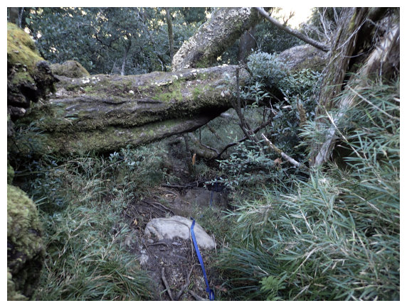
05:00 passed through a fallen tree and a direction mark < to Mt. Pingfeng 022 & to Dayuling 046>. A rock was damp and a rope on the side could be pulled for climbing up. Walked to a campsite (小獵人營地) and took a short break at a direction mark < to Dayuling 043>.
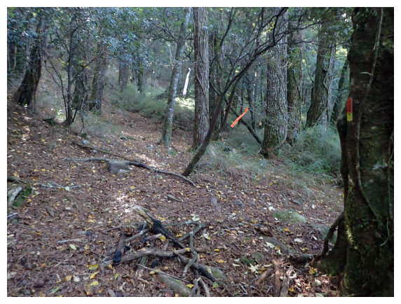
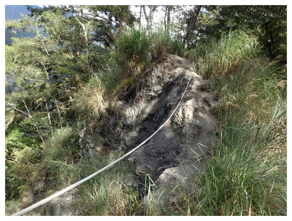
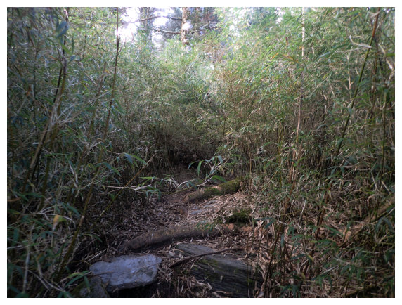
05:15 pulled ropes and climbed up on the path covered with some fragment rocks. A direction mark < to Mt. Pingfeng 067> . After passing a big rock and a direction mark <to Mt. Pingfeng 069>, arrow bamboo groves are around.
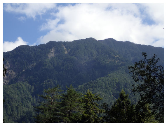
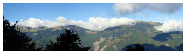
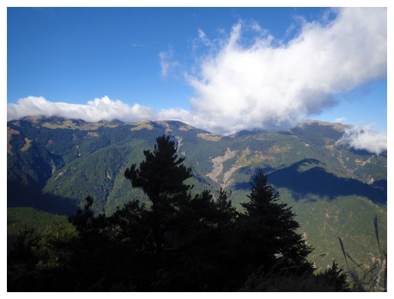
06:05 the view of Mt.Hehuan was on the left. Took a short break at a direction mark < to Mt. Pingfeng 080> and then passed a mark < to Mt. Pingfeng 081 >
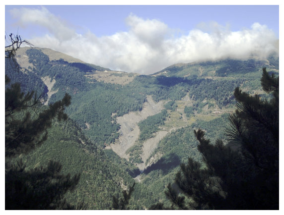
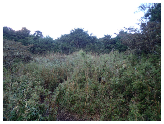
06:20 walked out of the forest and then entered a field of arrow bamboo groves. The view of Mt.Huhan Group was on the left. Walked up for a while and entered a pine forest.
07:00 the first rocky spot of climbing rope (10M) <to Mt.Pingfeng 090 >
07:18 the second rocky spot of climbing rope (5M) <to Mt. Pingfeng 095 >.
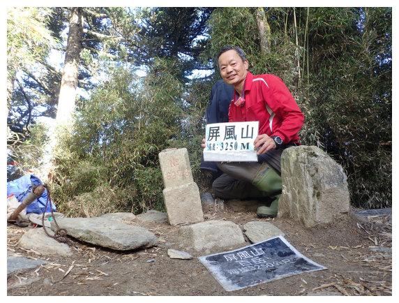
07:30 Mt. Pingfeng. There was no view for watching because it was surrounded by arrow bamboos and trees. After 20 minutes of photo taking and rest, followed the original route going back.
09:40 back to the intersection of the new path and the old path. Packed the tent and had breakfast for 40 minutes and then followed the original path back.
11:30 back to Takkri River. After 10 minutes break, hiked up to Dayuling.
12:20 got to Dayuling trailhead.
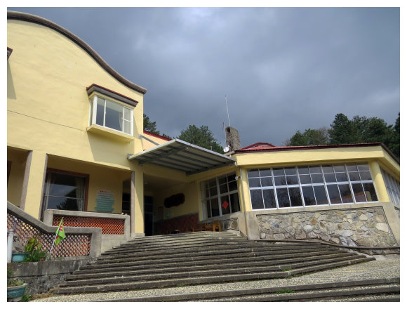
Drove to Kuan Yun Youth Hostel(4K away from the trailhead, it was located near at 116.3K, Tai 8) and stayed there for preparing the next day hiking.(a bunk 500NT/ a night, a suit for two 2200NT/a night, both included breakfast , tel: 04-25991173)