Qilai South Peak and Nanhua Mountain(奇萊南峰&南華山)
Qilai South Peak and MT. Nanhua 2-day trekking were considered as one of Taiwan three major international routes since Tienchi Lodge had been renovated in 2011(the other routes are Yushan and Xueshan).
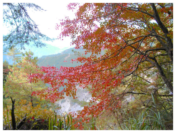
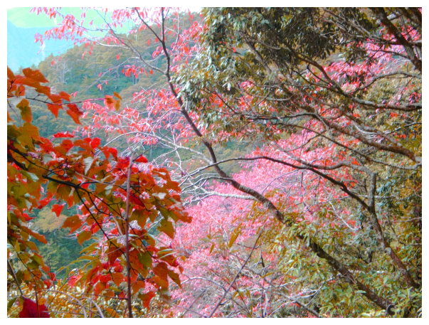
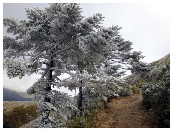
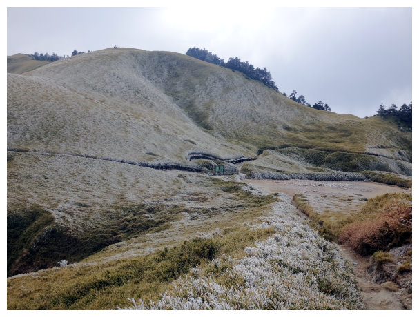
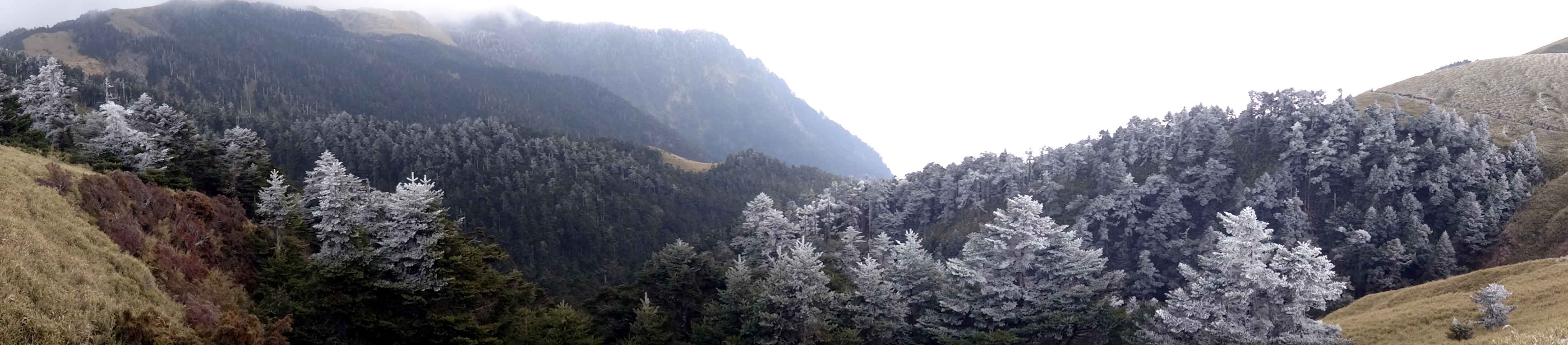
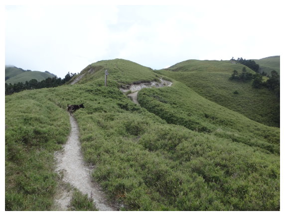
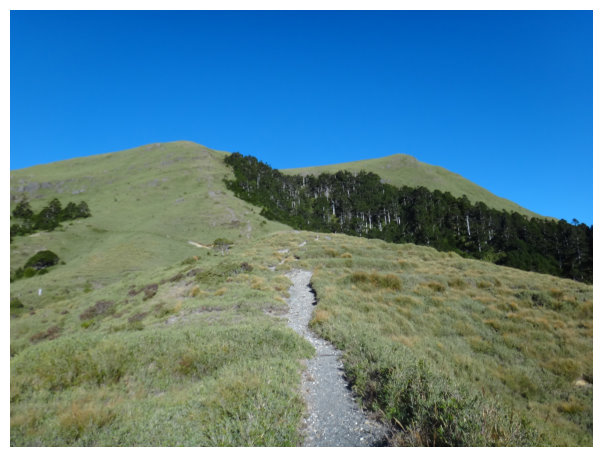
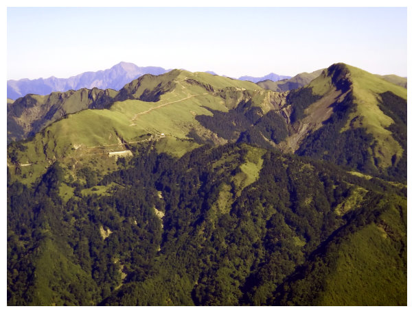
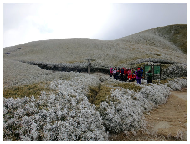
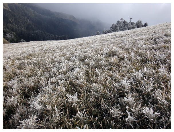
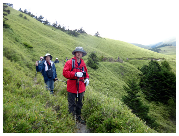
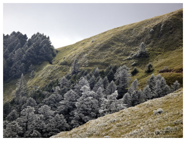
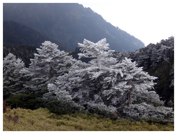
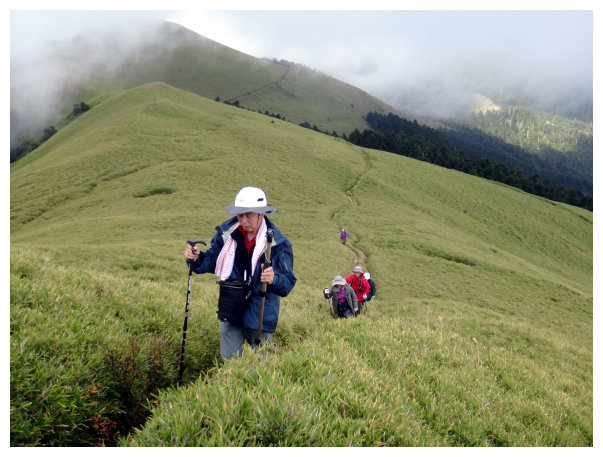
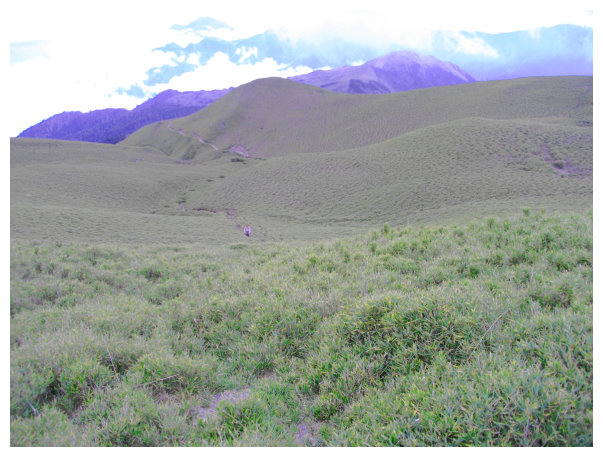
The trail was the best among them and maintained well. The grassland was gorgeous. It was so popular that there were not enough bunks for all at Tianchi Lodge on holidays.
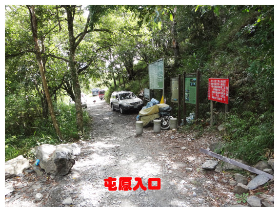
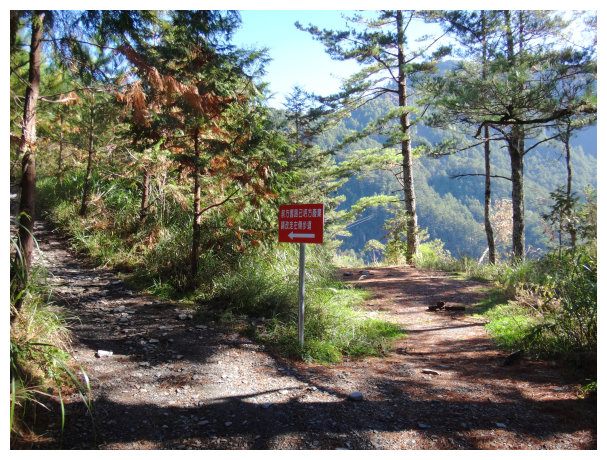
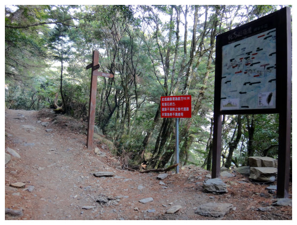
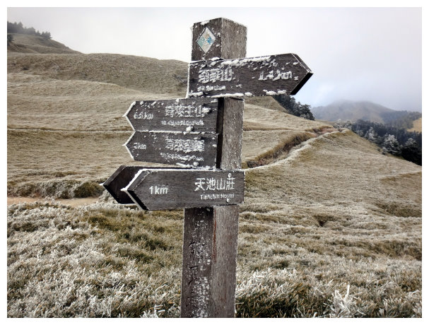
This journey was a part of Nenggao Cross-ridge Historic Trail. It began at Tuen-Yuan trailhead in Lushan Hot Spring area, and we accommodated at Tianchi Lodge. The trail was marked with signs and distances every 500 meters. It was difficult to get lost
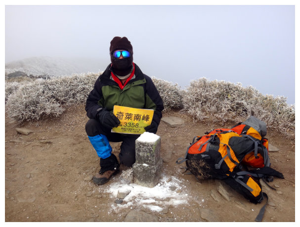
Qilai South Peak: It is listed on 100 Peaks #41, an elevation of 3358 meters. Difficult ranking: 3.2 (out of 10)
Mt. Nanhua: It is listed on 100 Peaks #75, an elevation of 3184 meters. Difficult ranking: 3 (out of 10)
Itinerary
D-1 Chiayi National Highway No.3, Northbound /National Highway No.6 Puli Exit / Tai 14 Wushe / Lushan Elementary School / pitch tents at Tuen-Yuan Trail Entrance
17:30 started from Chiayi and bought food at 7-11 near Puli Exit of National highway No.6. Driving on the Tai 14 bound for Wushe/ Lushan. And turning left at kilometer 87.5(right down to Lushan Elementary School, Tour buses were not allowed)./ the end of Tai 14 , kilometer 99 / keep driving for 3 kilometers.
21:50 Got to Tuen-Yuan trailhead and pitched tents here for the night.
D+1 Tuen-Yuan Trail Entrance / Tianchi Lodge / Qilai South Peak / Mt. NanHua / accommodated at Tianchi Lodge
( It took 10 hours to hike 23 kilometers. Rise up 845M+500M )
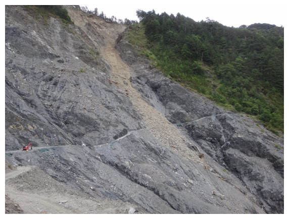
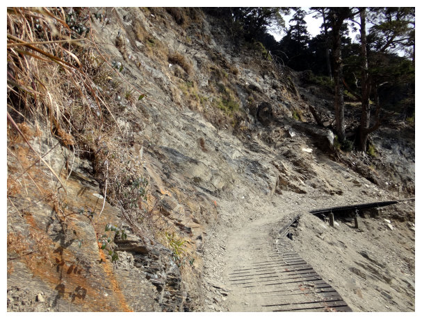
07:40 started from (屯原)Tuen-Yuan Trail Entrance. There was landslide at kilometer 0.5—2.
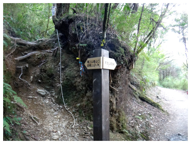
09:00 an intersection of Weishang(尾上山).<1.7K to Weishang & 9K to Tianchi Lodge>
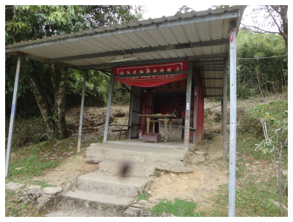
09:10 a temple.
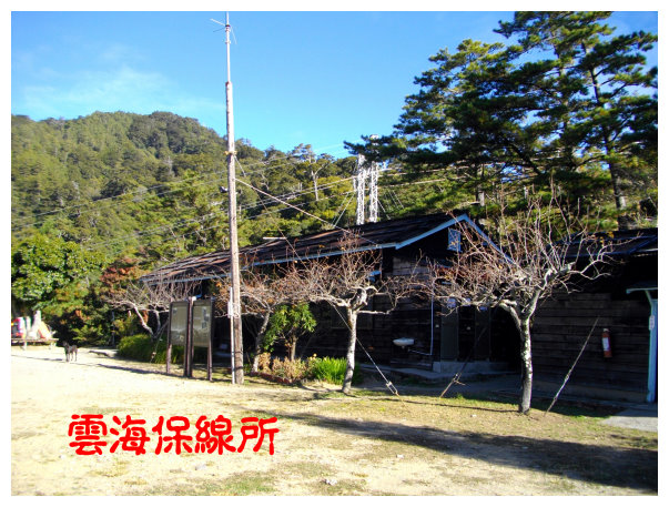
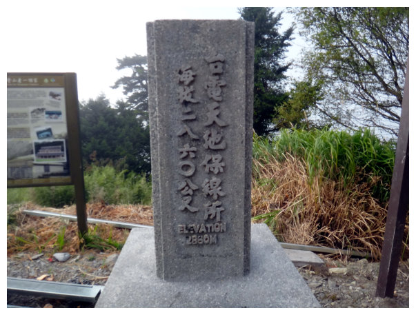
09:15 雲海保線所(this was a Taiwan Power Maintenance Office.), an elevation of 2360 meters. 4.5K. Took a 15-minute break.
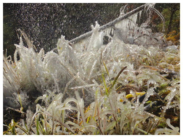
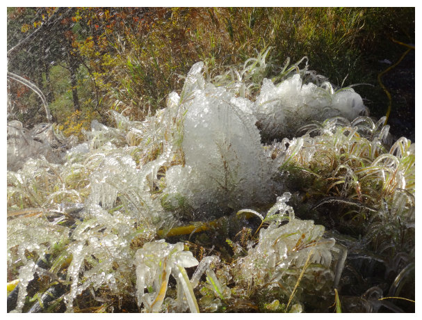
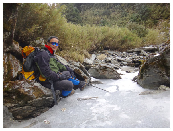
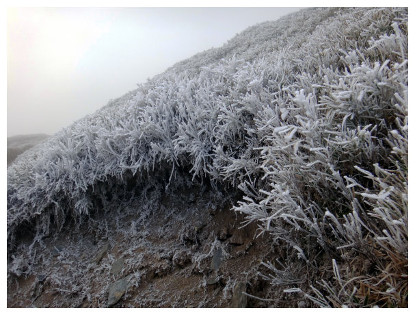
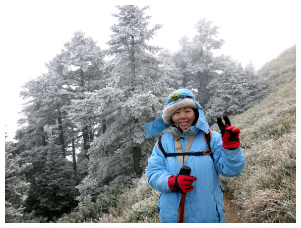
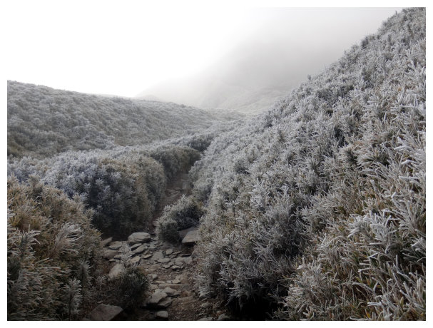
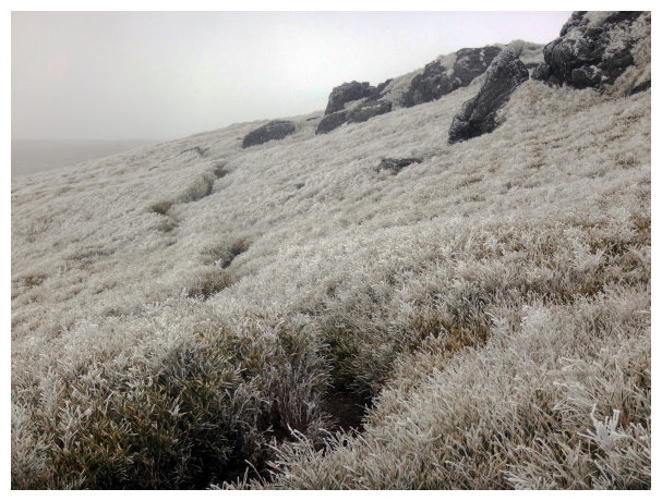
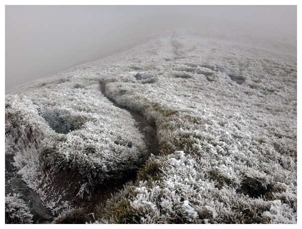
水管旁的草結冰了!
09:35 <5K> an intersection. Went straight and took the left way to up the hill when we met a damaged suspension bridge. After 15 minutes, we got to a place collapsed easily in this route<6K>.
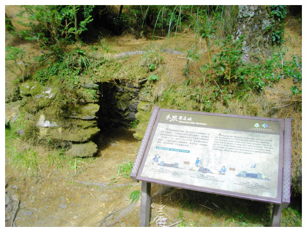
10:35 Charcoal kiln remains <8K>。
11:00 headed down to an intersection. A sign marker< detour 950 M & to Tuen-Yuan trailhead 9.4K & to Tianchi Lodge 3.8K>. Here was an alternative route when there was a landslide at kilometer 10, and this detour would end at kilometer10.3 .
11:15 at kilometer 10—10.2,a landslide area, watch out for the falling rocks from the slope.
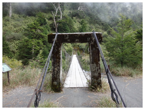
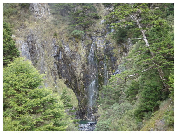
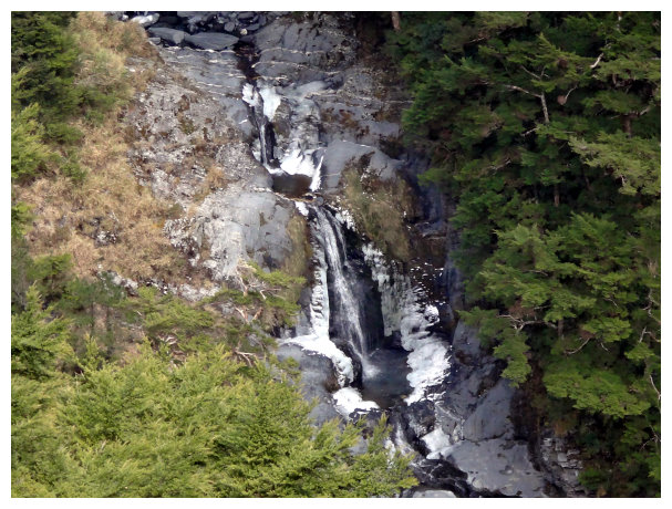
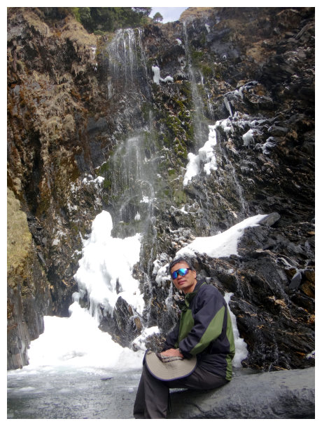
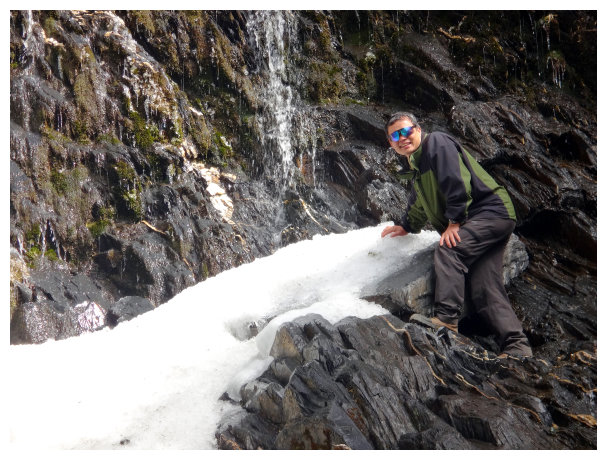
12:00 <12K> a sign marker. Tianchi Lodge could be seen from here. Keep hiking to pass by Nenggao waterfall and a suspension bridge.
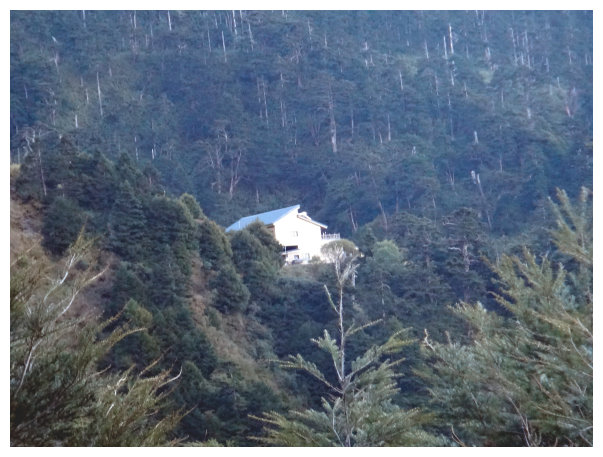
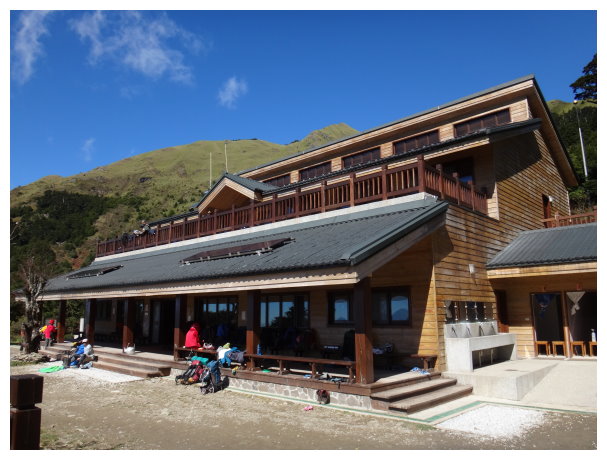
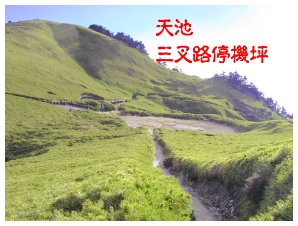
12:25 an intersection of Tianchi Lodge. Left to Qilai South Peak 3.5K. We went straight down 100 meters to Tianchi Lodge(an elevation of 2860 meters). It offered toilets and water, NT450/a night. And you could make a reservation for meals in advance. This Lodge was renovated in 2011. It was the best Lodge in Taiwan. There was a campsite in front of the Lodge. We took a break for an hour.
13:30 went back to the intersection of Tianchi Lodge and turned right up to Qilai South Peak.
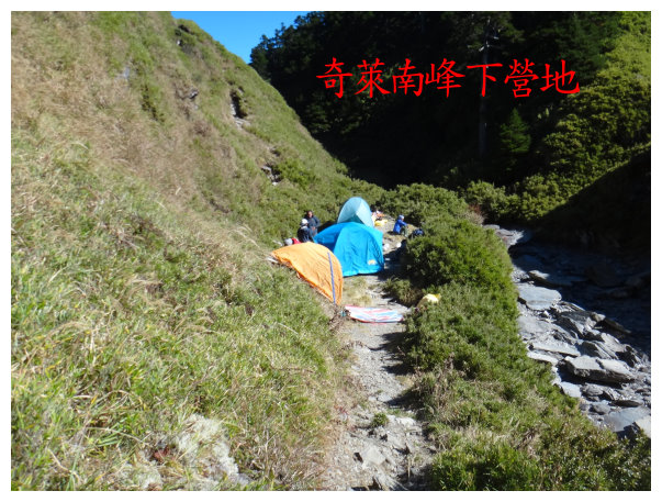
13:55 the intersection of Tianchi (a helicopter pad). We met an intersection after going for a while. <To Qilai Main Peak 6K>. We took the left and headed down. There were a campsite and water resource at the bottom(this was for those who were hiking Mt. Qilai Series)
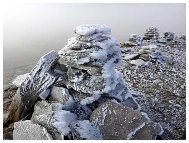
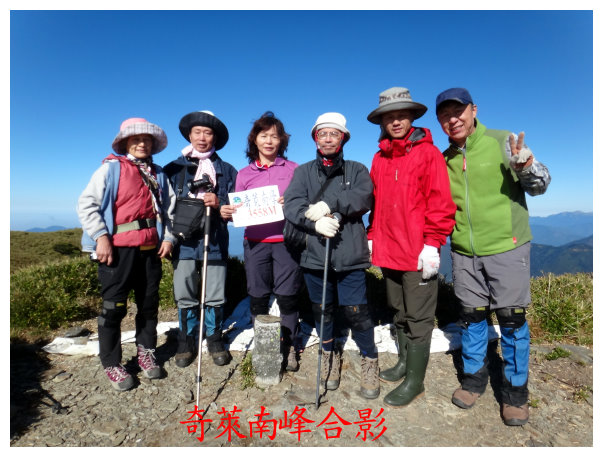
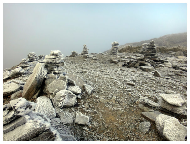
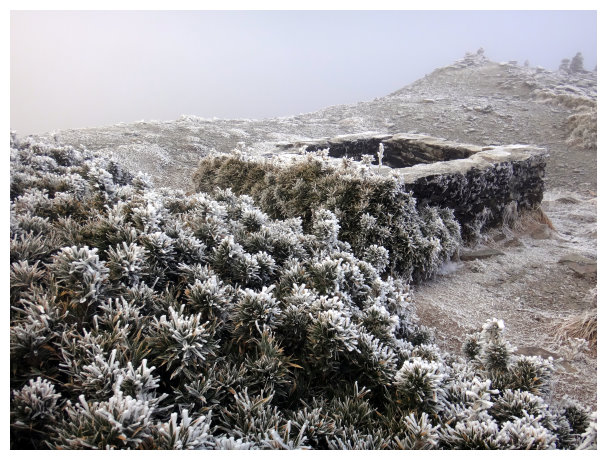
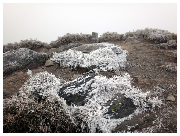
14:35 Got to Qilai South Peak. There was a historical remain nearby. We took a 15-minute break.
15:20 went back to the intersection of Tianchi and up to Mt. Nanhua. We walked through the arrow bamboo groves.
15:45 got to the summit of Mt. Nanhua. We took a 10-minute break.

17:00 went back to Tianchi Lodge.
D+2 Tianchi Lodge / Tuen-Yuan Trail Entrance/ back to Chiayi
07:00 Having breakfast at Tianchi Lodge
11:30 back to Tuen-Yuan Trail Entrance and drove to Chiayi.
