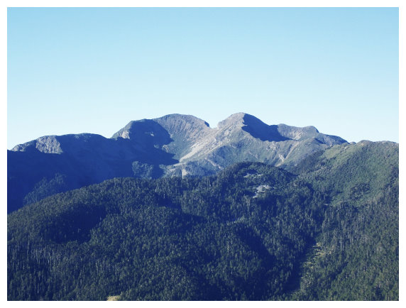
Wuling Quadruple Mountains(武陵四秀)
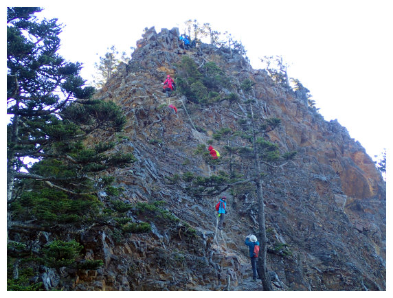
Mt. Pintian, Mt.Chiyou, Mt. Tao and Mt. Kalaye are located around Wuling Farm, so there is an elegant name “Wuling Quadruple Mountains” for them. Mt. Pintian which has steep, sloping sides and sharp ridges is one of the top 10 tough mountains listed on 100 peaks, and it is a challenged mountain route. Mt. Kalaye is one of the top 4 mountains whose route is long and rough could make hikers exhausted.
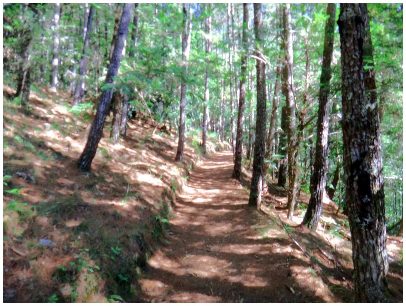
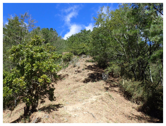
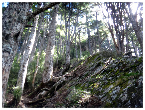
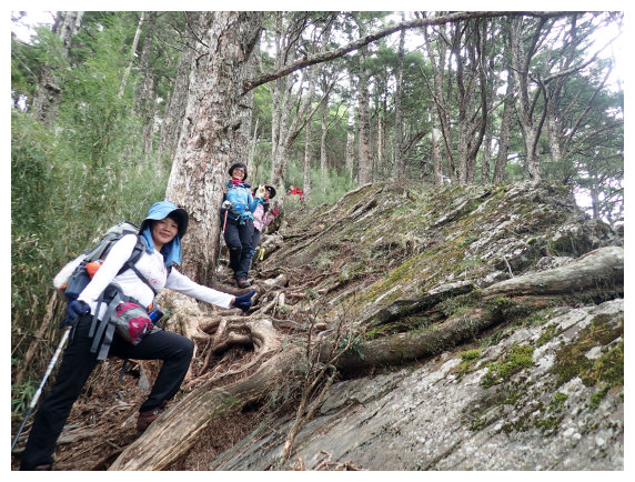
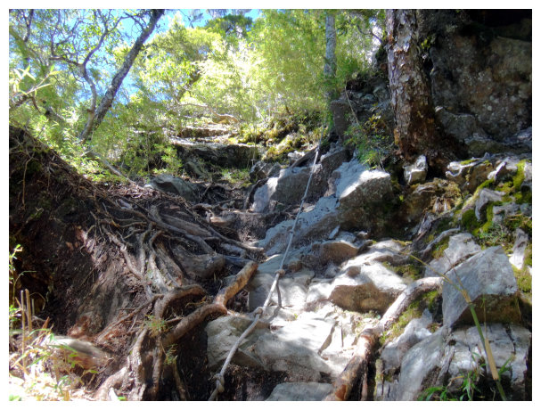
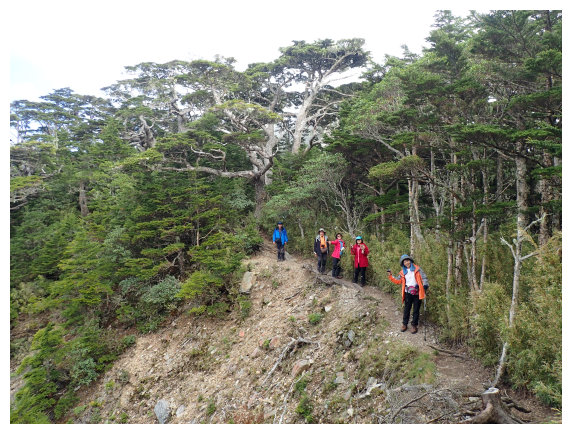
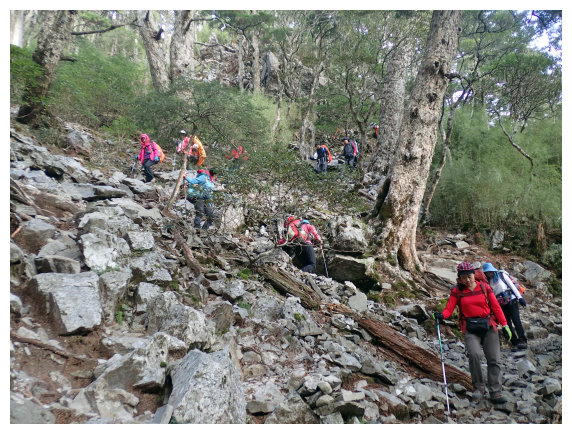
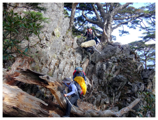
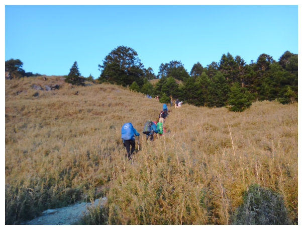
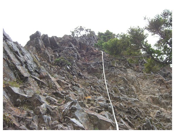
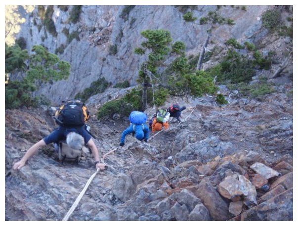
The route is steep and sloping, whether it is from the Taoshan trailhead or Chiyoushan trailhead. The path between Xinda Hut and Taoshan Hut is really tough; sometimes hikers should scramble with hands and feet. Thanks to the wonderful view around, all this hard work was really worth it.
There are 2 courses hiking Wuling Quadruple Mountains. One is moving clockwise, and the other is counterclockwise. It’s popular and saves energy to hike clockwise. In case of the bunk’s problem, hikers have to go counterclockwise, but carrying water to Taoshan would get more difficult. For the counterclockwise course, the route would be Mt.Tao and Mt. Kalaye first. Next, it would be Mt. Chiyou and Mt. Pintian. And then hikers go down from Sancha Campground.
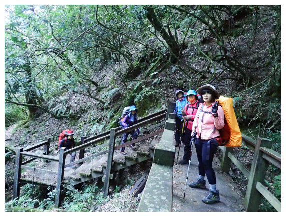
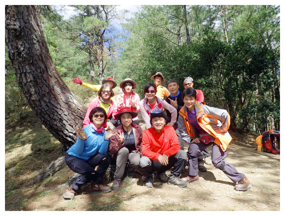
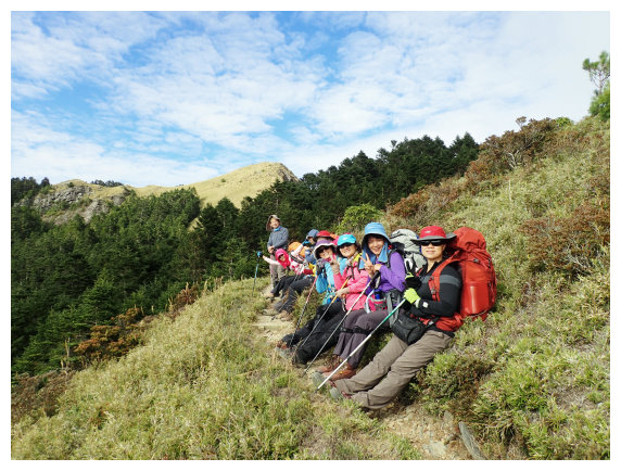
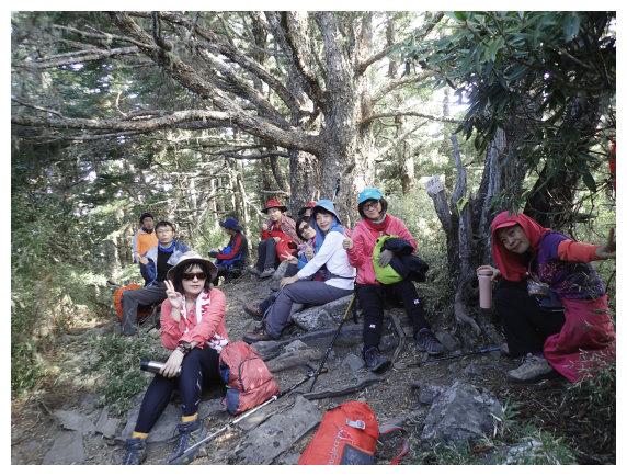
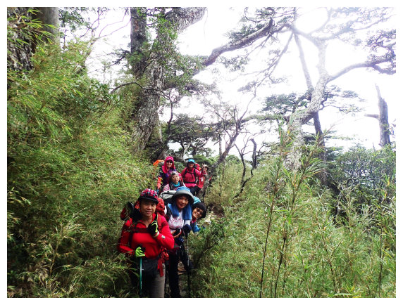
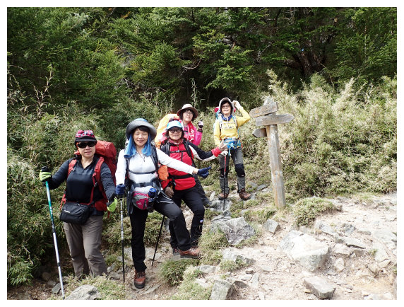
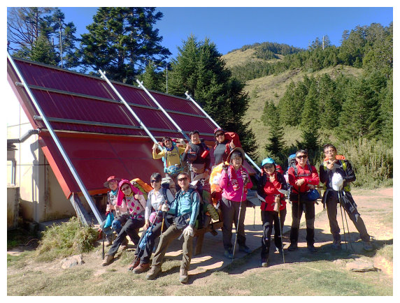
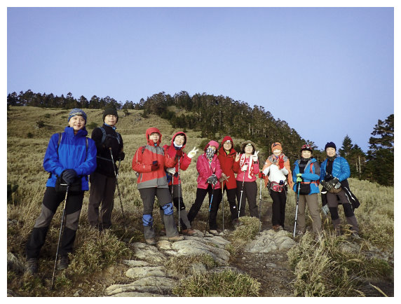
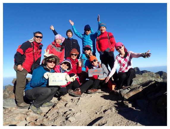
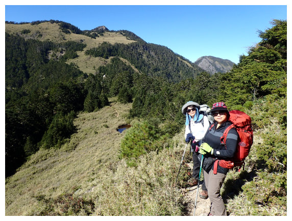
This time, I guided a “photo tour group”, so our moving was slower than other hikers.
The difficulty rankings below are according to the clockwise course:
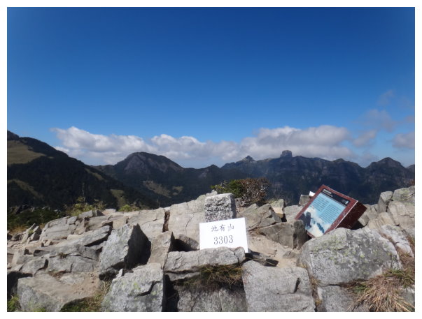
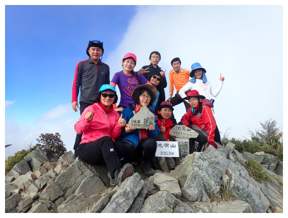
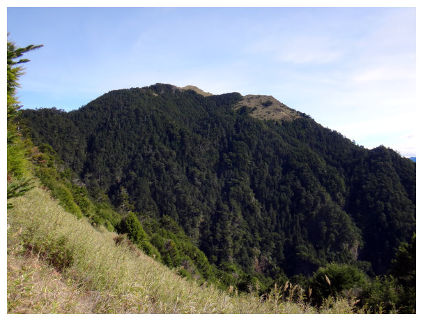
Chiyou Mountain(池有山): an elevation of 3303 meters. No. 051 on the list of 100 peaks. There is a summit mark No. 6317 on the top. Difficulty ranking: 4.7
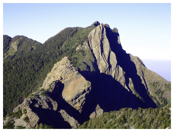
:海拔3524M,百岳排行022, 四秀之首,台灣百岳十峻之一,山層岩脈摺紋是其一大特色,可瞰聖稜線景觀,單峰難度5.5分。
Pintian Mountain(品田山): an elevation of 3524 meters. No.022 on the list of 100 peaks. the first of Wuling Quadruple Mountains. The Holy Ridge landscape could be viewed clearly from Mt.Pintian. Difficulty ranking: 5.5
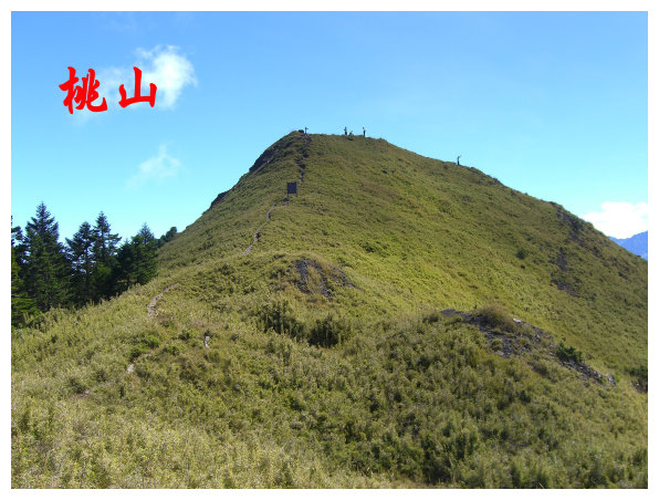
桃山:海拔3325M,百岳排行048, 有顆編號6327號的三等三角點基石,單峰難度5.2分。
Tao Mountain(桃山): an elevation of 3325 meters. No.048 on the list of 100 peaks.Difficulty ranking: 5.2
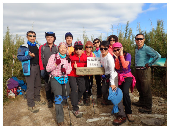
Kalaye Mountain(喀拉業山): an elevation of 3133meters. No.085 on the list of 100 peaks. There is a summit mark No.1549 on the top. Difficulty ranking: 6
A counterclockwise course
D-1 Chiayi Highway no.6 bound for North / Highway No.6 Puli Exit / Hehuanshan / Dawuling / Lishan / (環清宮)Huanqing temple for a night
14:10 Started from Chiayi station.
16:00 Stopped at a convenience store 7-11 at Highway No.6 Puli Exit.
17:30 Having dinner at Hehuanshan
20:15 arrived at(環清宮)Huanqing temple and stayed for a night.
D+1 Wuling Farm / Taoshan hiking trail / summit of Mt. Tao / Taoshan Hut
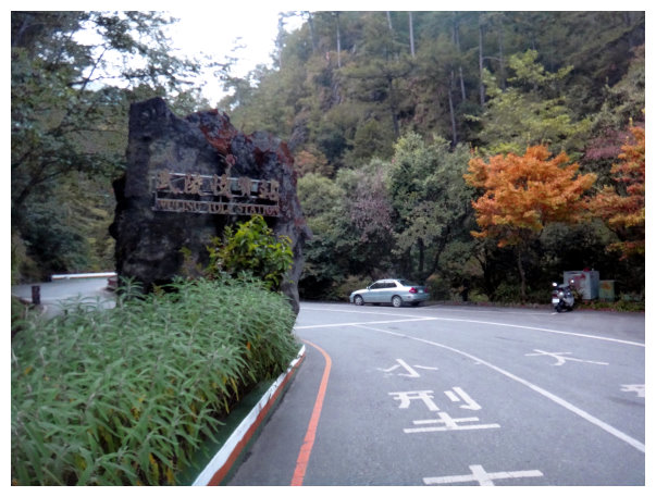
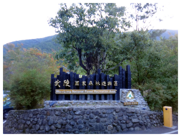
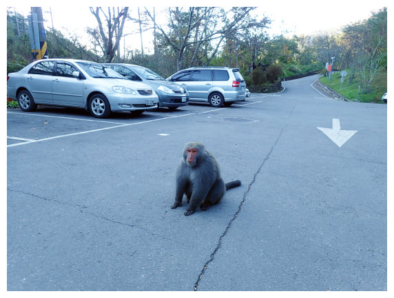
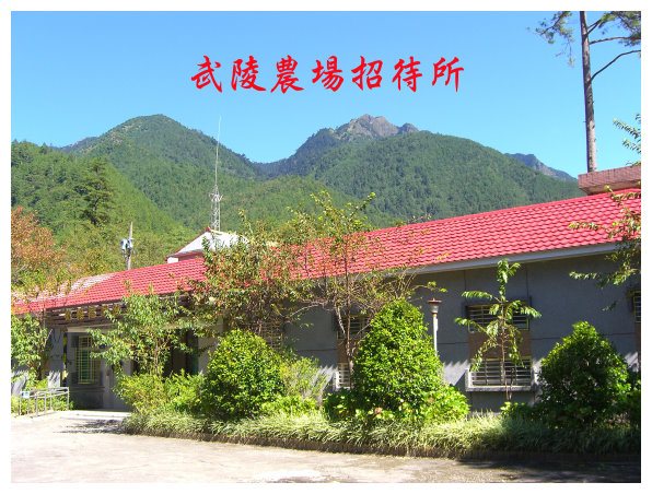
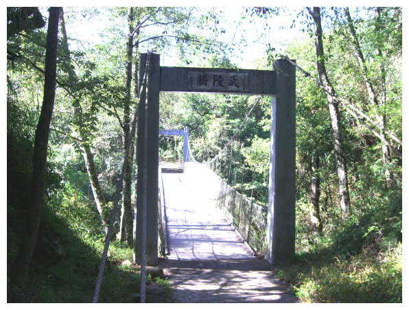
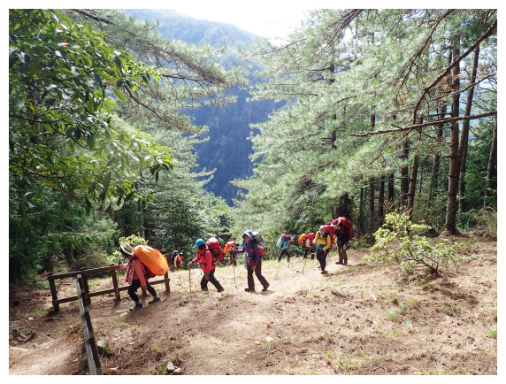
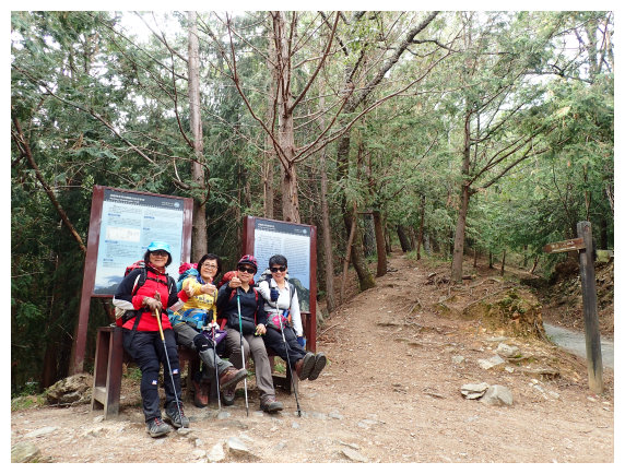
07:25 at Wuling Villa Visitor Center Parking Lot.Commenced our hike by the red fence entrance next to Wuling Farm Guest House (武陵農場招待所)and put the permits into a box at the right side of the fence. (Do not take out any food, or monkeys will come and snatch it.)
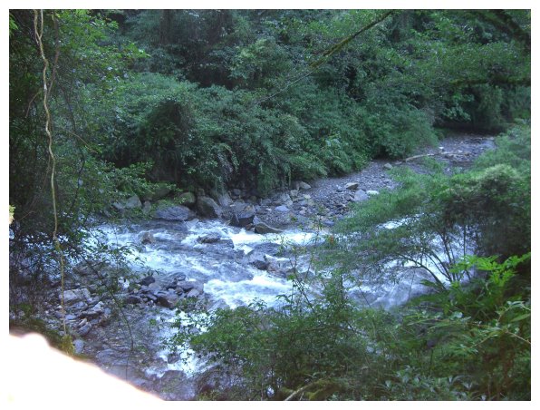
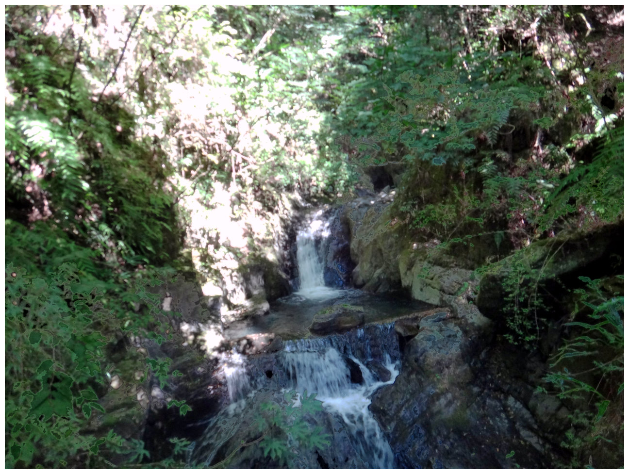
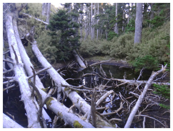
07:28 Walking up the Wuling Suspension Bridge, we saw lots of silvery white salmon in the creek. After the bridge, it was a cement path to Taoshan Waterfall
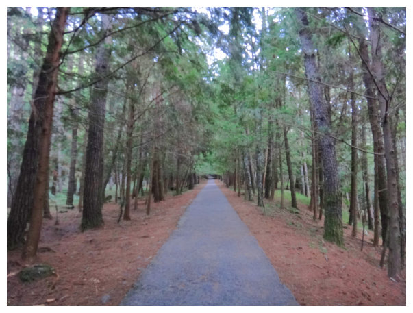
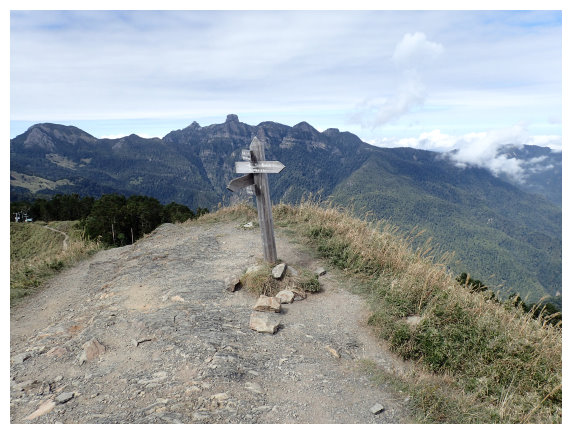
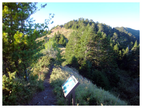
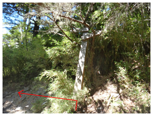
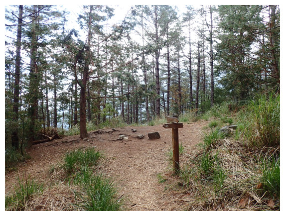
07:51 arrived at an intersection. Going straight was the way to Taoshan Waterfall and the trailhead of Mt. Chiyou.( A sign for directions: Taoshan trailhead 300 meters away. Wuling Villa 1087 meters away. Taoshan Waterfall 3215 meters away.) We took the path on the right to Taoshan trailhead.
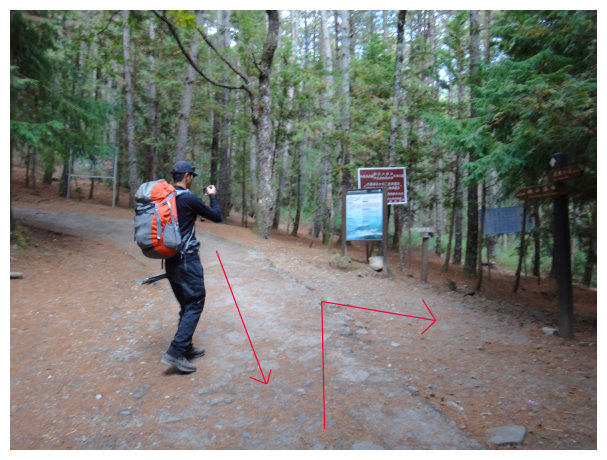
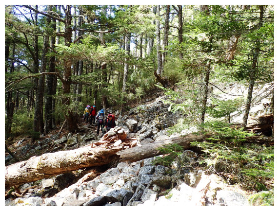
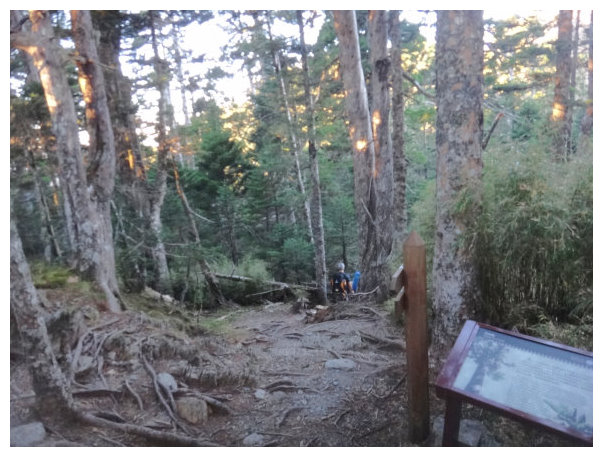
07:55 Taoshan Trailhead (rise 1300 meters and hike 4.5 kilometers). There was an abandon working station on the lower right. A distance marker shows Taoshan Hiking Trail <0K>. we took the left path up to Taoshan.
08:05 Went up and down, we got to the source of Cijiawan River. After a bridge, it was a shady,switchback path covered leaves.
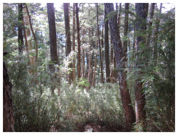
08:52 <1K> a distance marker. There are cork oaks, bayberry trees, lotus trees planted for fireproof. after taking a 20-mins break, we kept hiking.
10:30 <2.1K> a distance marker. Took a 20-mins break.
11:33 a junction. There was a black puddle on the lower right. <2.7K> a distance marker. Took the left path to go down and then kept going up.
11:43 a helipad <2.7K> a distance marker.
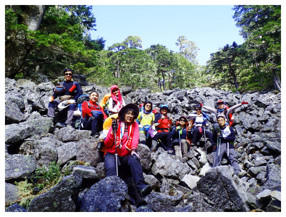
12:11 <3.1K> a distance marker. There are arrow bamboo grove and alpine rhododendron around. Lunch break for 40 minutes.
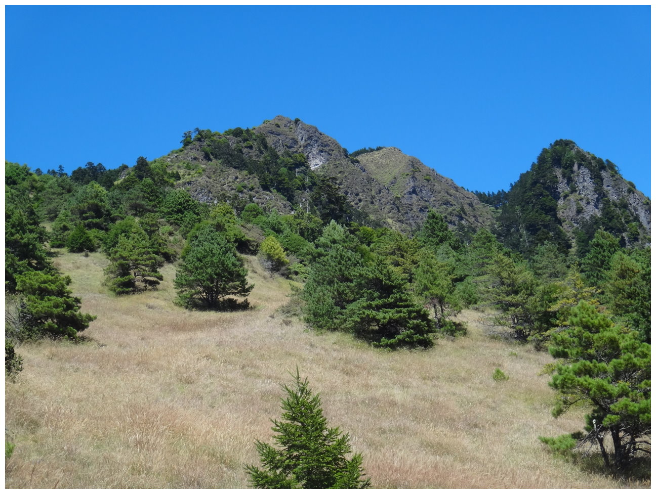
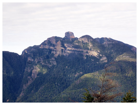
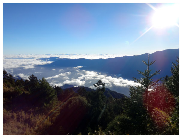
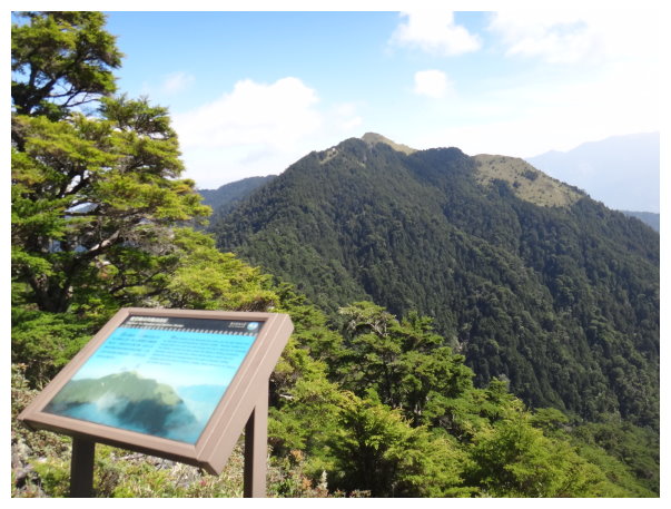
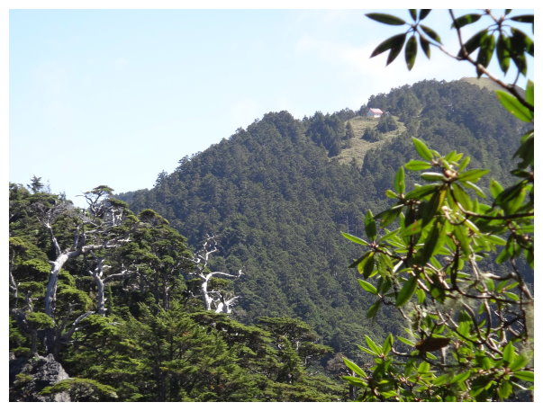
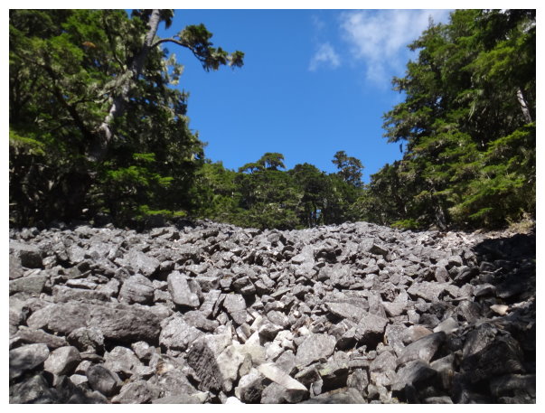
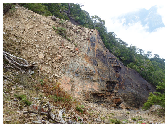
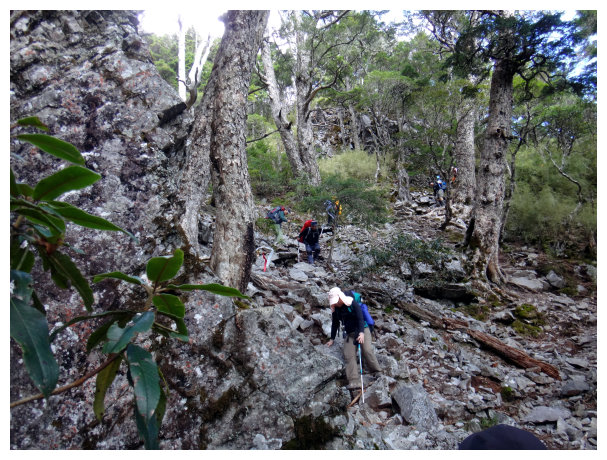
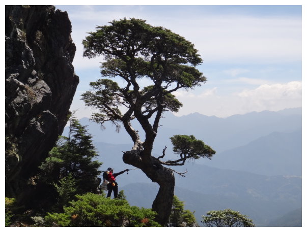
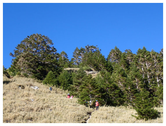
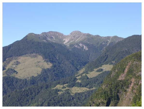
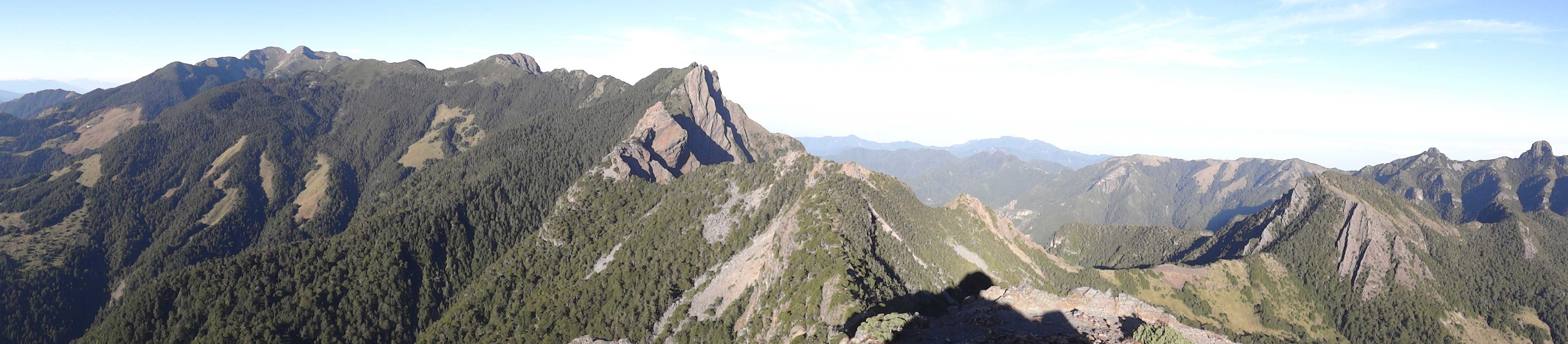
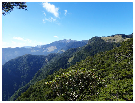
13:50 at <3.8K>. it was a view point. There was a guide board describing the mountains nearby. The main peak of Mt.Snow, Mt. Pintian and Mt.Dabajian are visible from here. Took an hour break. Rock scramble hikes between 3.9K~4K.
15:28 Mt.Tao <4.5K> a distance marker and a sign for directions <三叉營地Sancha Campground 2.3K>. Taoshan Hut was head on the left. The path on the right was going to Mt. Kalaye. After taking an hour break, we headed to Taoshan Hut.
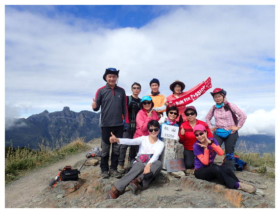
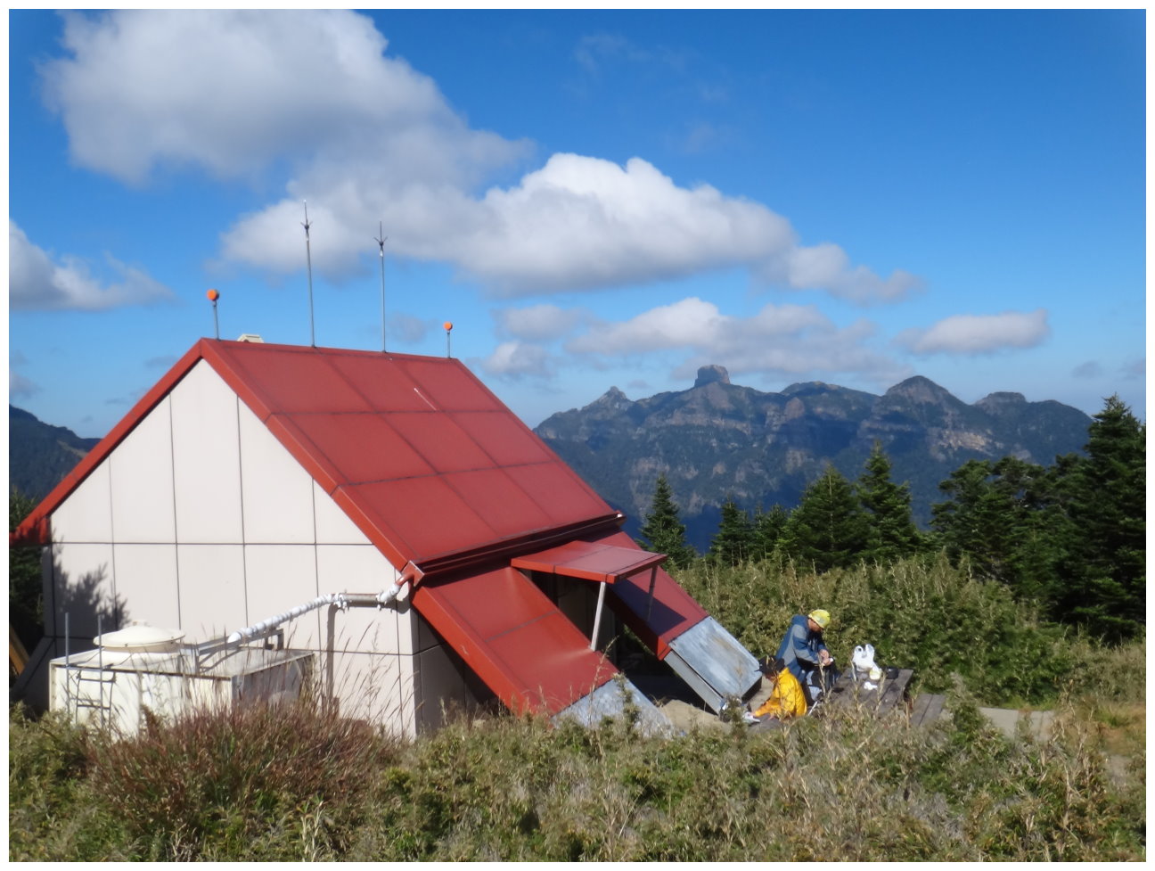
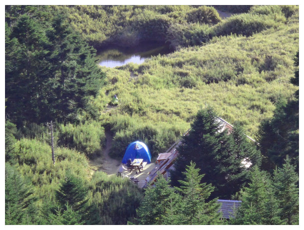
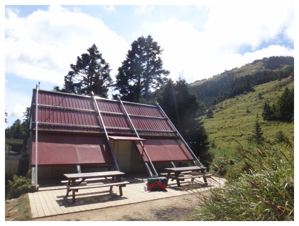
16:35 Taoshan Hut. In the dry season, hikers need to carry water by themselves.
D+2 Taoshan Hut/ Mt.Tao / Mt.Kalaye /Mt.Tao / Taoshan Hut / Mt.Chiyou / Xinda Hut for a night
05:00 started our hike with simple backpack.
05:08 the summit of Mt. Tao. We took the path on the left to Mt. Kalaye. Went down 200 meters and then entered a forest until we got to a distance marker <0.8K>.
06:08 going up to <1K> a distance marker. There was a guide board. After taking a 15-mins break, we went down.
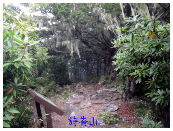
06:40 Mt. Shilun(詩崙山), an elevation of 3200 meters, isn’t listed on 100 peaks. <1.7K> a distance marker. The path from here to <2.05K> was arrow bamboo grove.
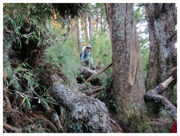
07:05 some fallen trees. <2.8K> a distance marker.
07:50 Mt. Kalaye ,<3.5K> a distance marker. We followed the original route to return.
10:00 back to Taoshan Hut to have a relax, chat and make some tea for 2 hours.
12:00 started our hike again, and we headed to Xinda Hut all the way down. <2K> a distance marker.
12:20 <1.4K&0.9K>a distance marker
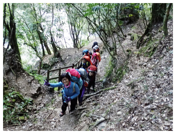
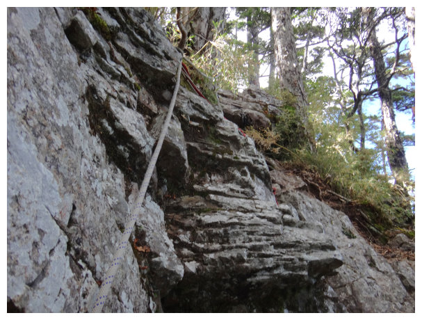
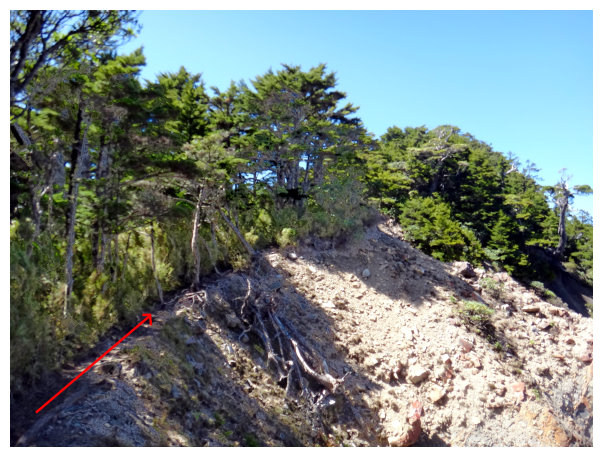
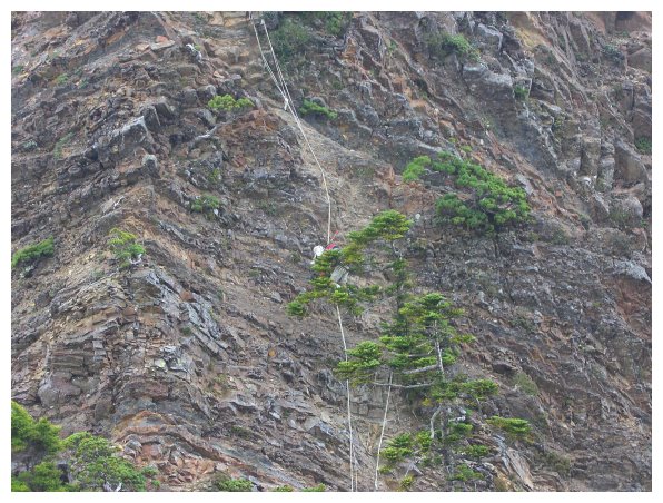
12:30 It was a steep path until the distance marker <1.1K&1.2K>. after going down to the rock wall for taking a detour and then scrambled up, we went along the rock wall. After the distance marker <0.9K>, there was an intersection. We took the path on the right to went up for 10 meters and then went down. ( there are ribbons tied in the trees for directions.)
13:20 we saw an old path blocked by ropes, so we went up to take a detour. Soon we saw the distance marker <0.8K&1.5K).
14:10 we saw trees which people named them “wife and husband”.
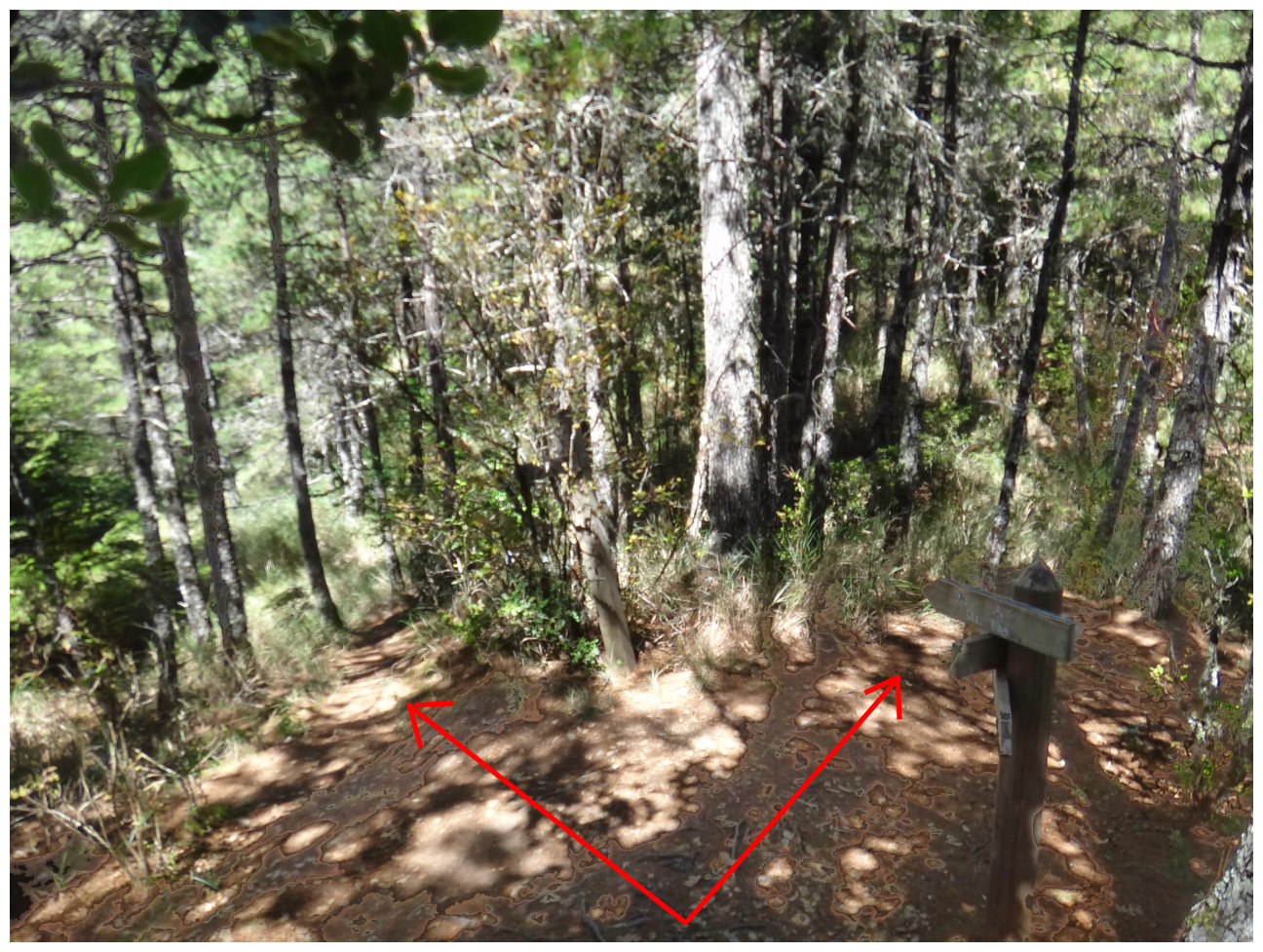
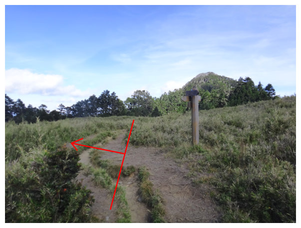
14:20 there was a sign showing directions, which was 100 meters away from Sancha Campground. <the left path to Mt.Chiyou trailhead was 3.5K long. The right path to Mt.Pintan was 3.1 kilometers long and to Xinda Hut was 1.5 kilometers long. After taking a 20-mins break, we headed to Mt.Chiyou.
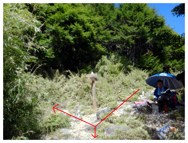
14:23 the first trailhead of Mt. Chiyou. It was a stonefall covered with rock pieces. We took off our heavy backpacks and then went on the path on the right side to Mt. Chiyou.
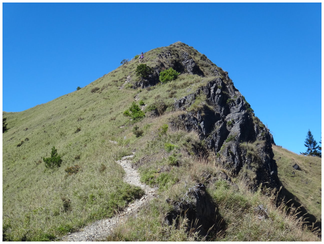
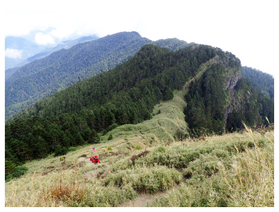
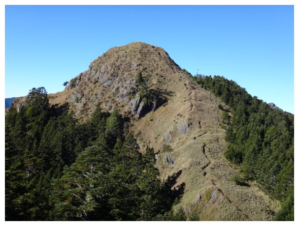
14:28 went up to the ridge and saw Mt. Chiyou ahead.
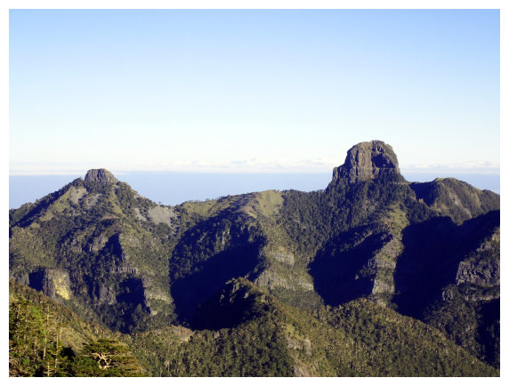
14:38 Mt. Chiyou. Mt. Dabajian was visible clearly. After taking some photos, we took the original route to return. (the path on the right side was going to the second trailhead, so we didn’t follow that path.)
15:35 back to the intersection where we took off our backpacks. We carried on backpacks again and headed to Xinda Hut.
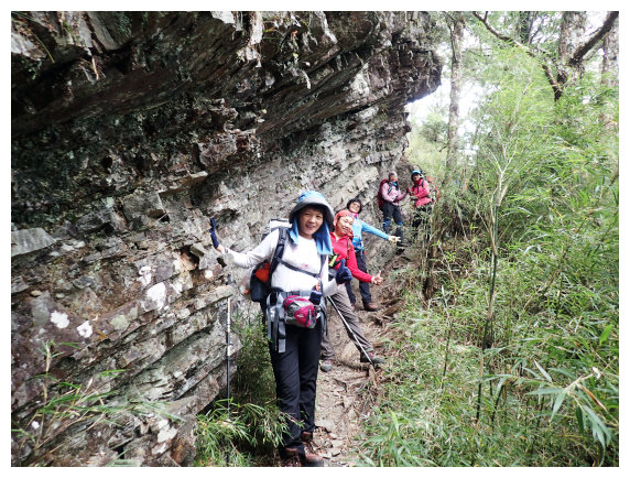
15:47 after the second stonefall, it was an intersection of the second trailhead. A sign said < the path upper right is going to Mt. Chiyou and the path lower left is going to Mt. Pintan.>. We took the path lower left to go, and scrambled up and down. Be careful not to go too close to the cliff edge.
14:50 after a stonefall, we got to <Mt. Pintan 2.6K & Sancha Campground 0.5K >the distance marker.
16:00 got to“Chiyou famous tree”. It is a nature’s masterpiece.

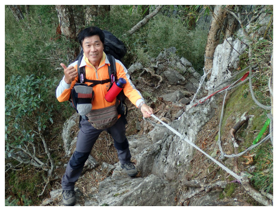
16:13 climbed up with ropes to the distance marker <品田山Mt.Pintan 2.5K & 三叉營地Sancha Campground 0.6K >. Moving forward about 100 meters, it was a rocky area. After taking a short break, we kept going.
16:25 passed by many puddles, we got to Sancha Campground and saw Xinda Hut ahead. A sign said: <右下走水路往大霸尖山 the path on the lower right is going to Mt. Dabajian &直行品田山 going straight to Mt. Pintan 1.7K & 桃山 To Mt. Tao 3.7K>
16:30 arrived at Xinda Hut. It offered a toilet, a water tank to collect rainwater, and bunks. a distance marker <品田山 Mt. Pintan 1.6K>.
D+3 Xinda Hut / Mt. Pintan / Xinda Hut / Sancha Campground / Wuling Farm / back to Chiayi
05:05 started our hike with simple backpacks.
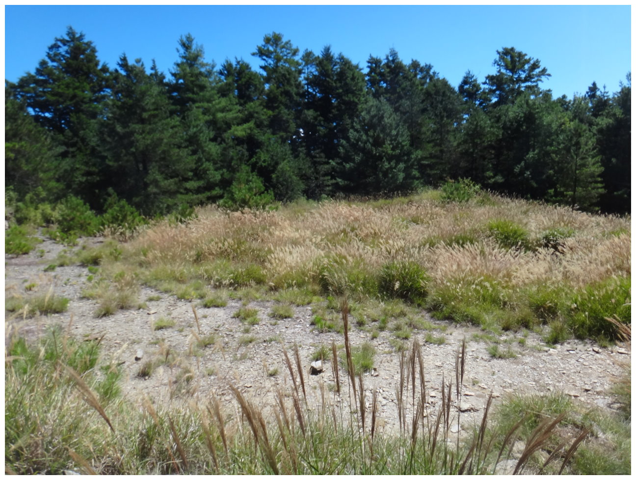
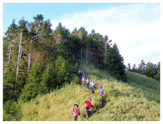
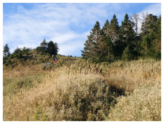
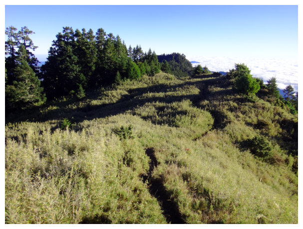
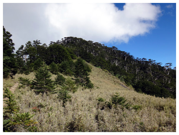
05:30 went up to a grass field stretching about 300 meters.
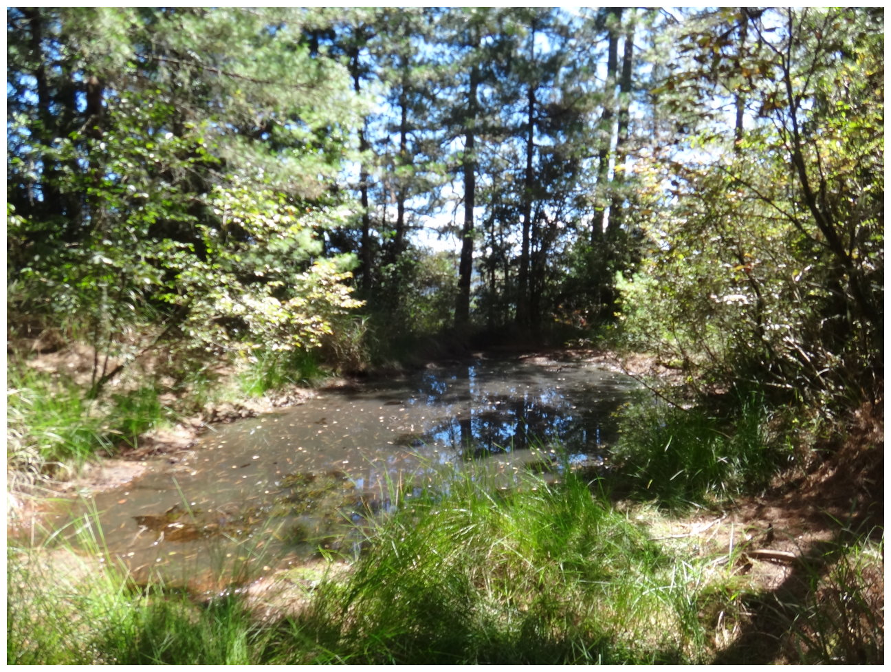
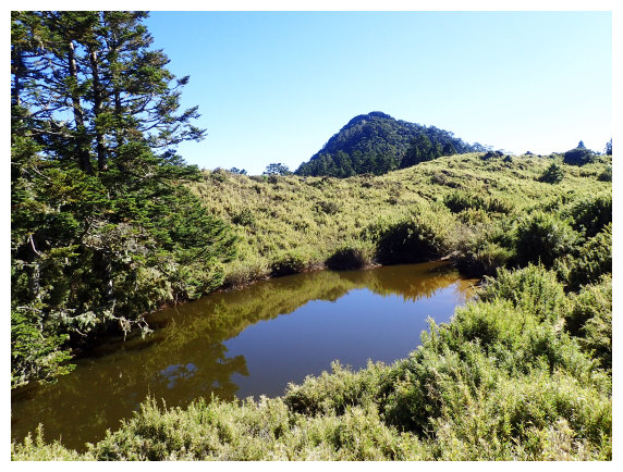
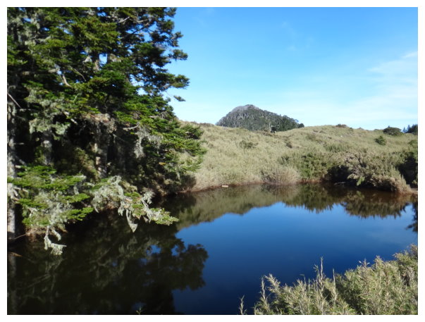
06:04 after entering a forest, we saw a pond (YaMei亞美池) on the right. <0.7K> a distance marker, there was a fir forest. Kept going down and up about 300 meters. We could see Mt. Snow on the left, and Mt.Daba on the right.
06:25 There was a U-shaped cliff in front of Mt. Pintian. It took a lot of time to wait for the line to climb up one by one.
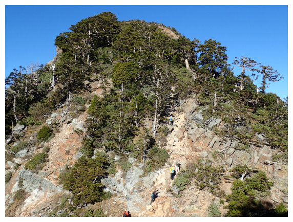
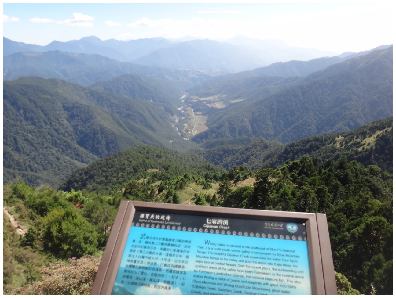
06:25 the summit of Mt. Pintian. It had 360 degrees panoramic views of the surrounding environment. Holy ridge line, Daba Group Peaks, and Nanhu Jong Yong Gien Shan were all taking in sight. After taking a short break, we took the original route to return.

08:50 went back to Xinda Hut and had a rest for 40 minutes.
09:55 got to the distance marker <Mt. Pintian品田山2.4K>
10:54 an intersection. We had lunch break for 40 minutes.
13:40 the distance marker <1.2K>. taking a 30-mins break at a flat site.
14:35 the trailhead of Mt. Chiyou. a distance marker <桃山瀑布Taoshan waterfall 690M & 武稜山莊Wuling Farm 3611M>.
15:10 went back to the parking lot and got on the bus to Chiayi`.
