Beidawushan(北大武山)
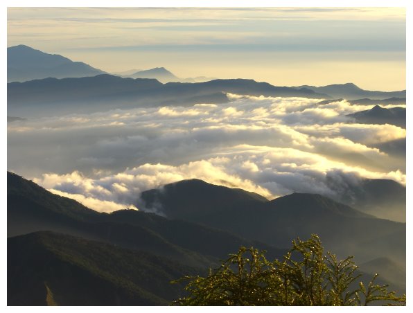
Beidawushan is located at the junction of Pingtung County and Taitung County, with an elevation of 3092 meters. It is ranked no.92 on the list of Taiwan’s 100 peaks. There is a summit mark on the top. It has a wonderful vision; endless mountains lie in the north. Standing on the top could see an unobstructed view of Taitung and Pingtung areas.
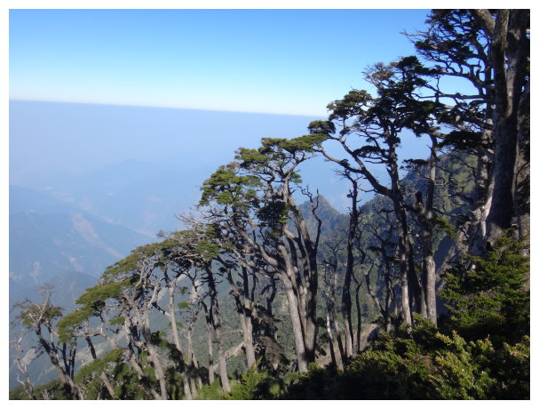
the climbers in Taiwan are used to call them Wuling Quadruple Mountains(台灣五嶽)Taiwan Quintuple Mountains。It is the tallest mountain in the south of the Central Range, towering in southern Taiwan. The eastern coastline is connected with the Pacific Ocean, which is fantastic. It is also the best place to view the Pacific and Taiwan Strait among the summits of the mountains in southern Taiwan.
Beidawushan , Yushan(Mt.Jade), Xueshan(Mt.Snow), Xiuguluanshan and Nanhudashan are known as “Taiwan Quintuple Mountains”. Although it is ranked the lowest among those mountains, on the main ridge of the Central Mountain Range within 30 km of the north and the south, there is no mountain higher than it. Beidawushan is particularly magnificent and magnificent and erects on Pingtung Plain in southern Taiwan.
Beidawushan is a barrier to block typhoons hitting Kaohsiung and Pingtung , because there are large faults on its both sides of the east and west.it is also known as the “Mother of Pingtung”.
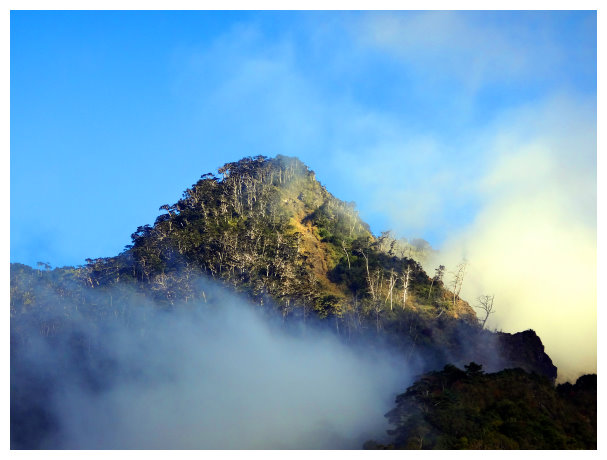
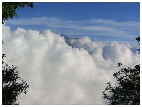
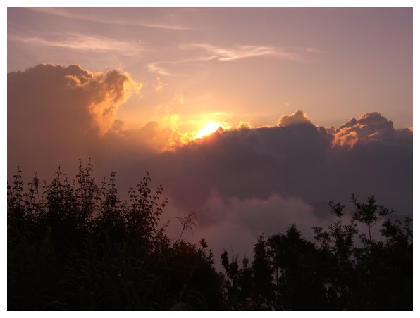
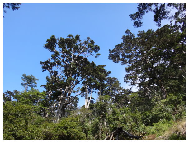
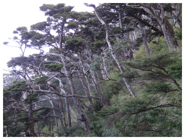
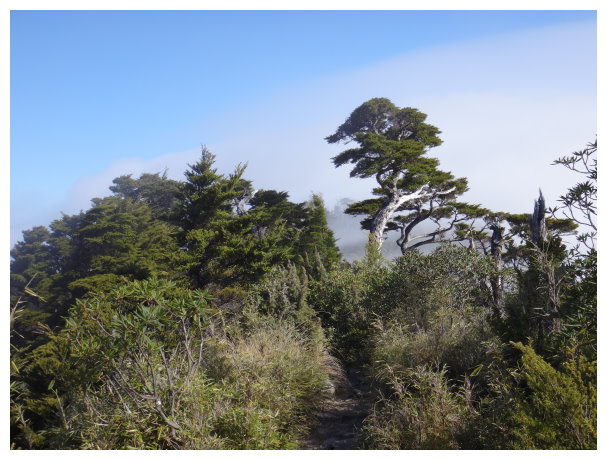
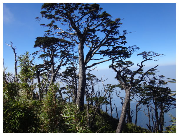
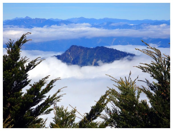
Beidawushan is a landmark in Pingtung County. It is the sacred mountain for the Rukai People as well as the home of the ancestors’ souls. It is majestic and has the original Taiwanese hemlock forest in the mountain. It is desirable to Watch the sea of clouds and sunset on the top of the mountain.
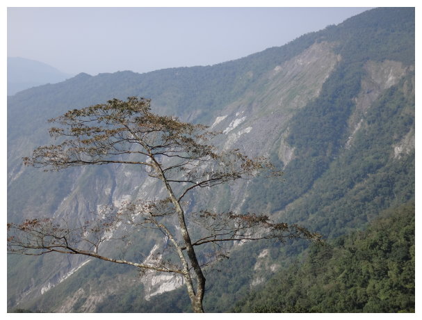
Beidawushan is the only mountain above 3000 meters sea level that can overlook the Taiwan Strait, the Pacific Ocean and the Basi Channel.
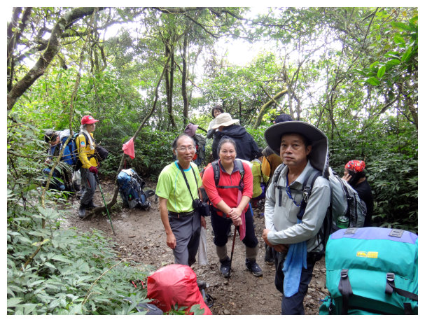
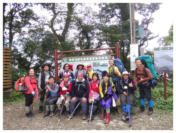
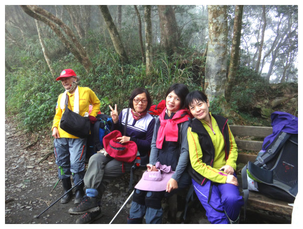
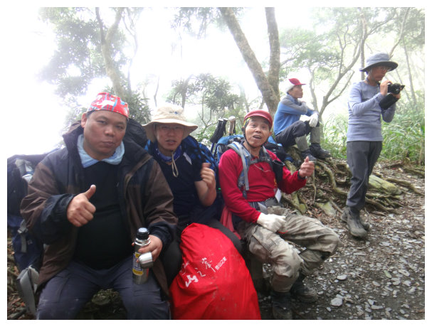
Three-day trip
D+1 Chiayi / New hiking trailhead of Beidawushan / old hiking trailhead of Beidawushan / stayed at Kuaigu Cabin
07:20 departed from Chiayi
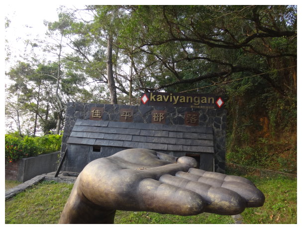
08:50 got a permit at Taiwu Jiaping Village Police Station(泰武佳平村派出所)
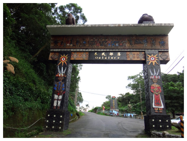
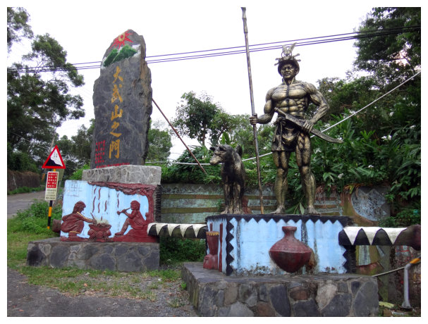
09:13 arrived at a junction of 5 roads. (it was 11.9 kilometers away from the police station ) There is a monument says “大武山之門” on the side of the road.
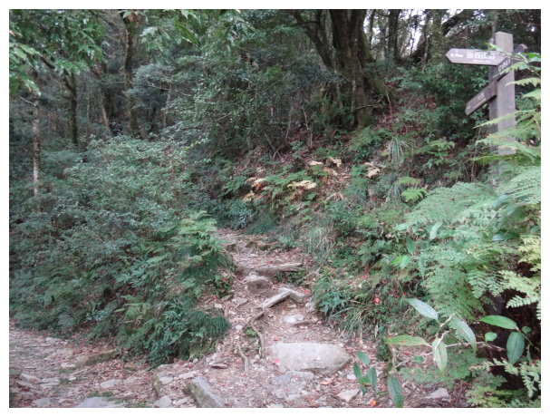
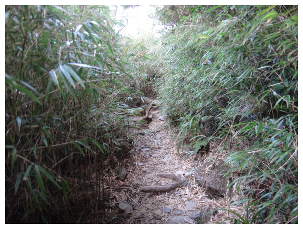
09:26 a junction of 3 roads (it is 17.5 kilometers away from the police station.) There was a pavilion at the upper left, a space for parking 3 cars and a sign saying <Beidawushan hiking trail北大武山步道>. We took the path on the left to go and saw a sign of Triangulation point painted on the fence.
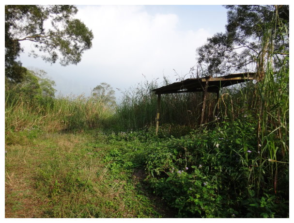
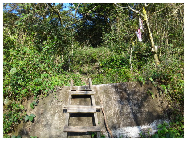
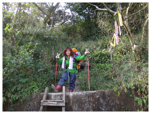
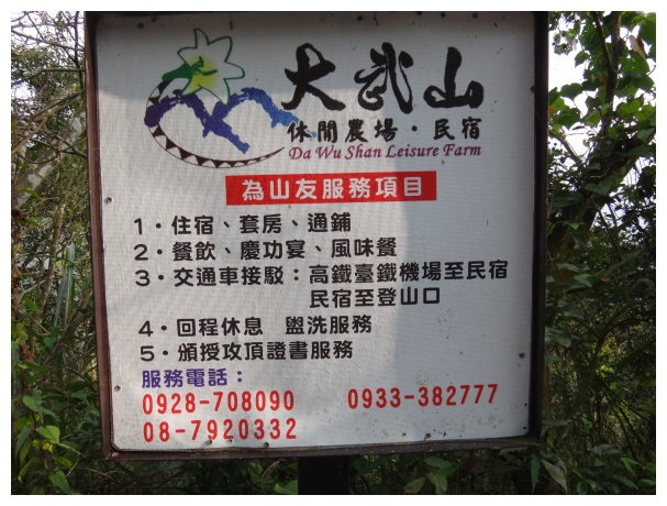
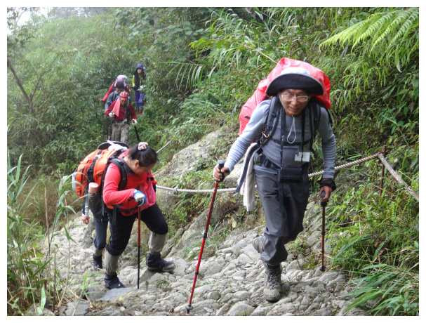
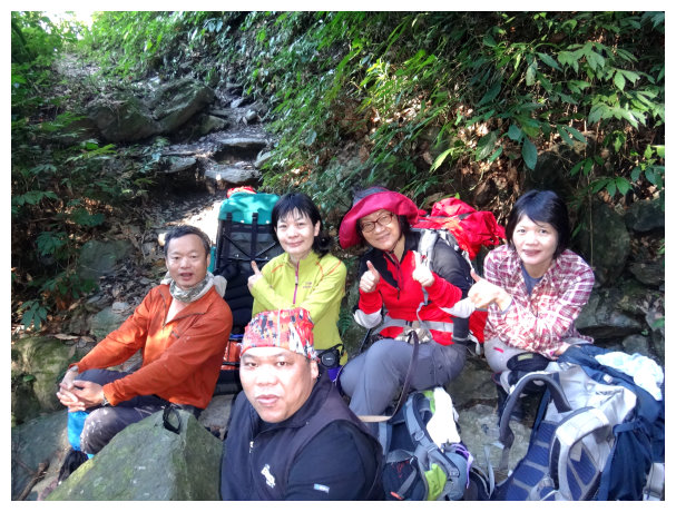
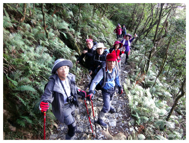
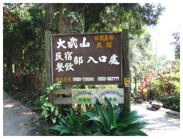
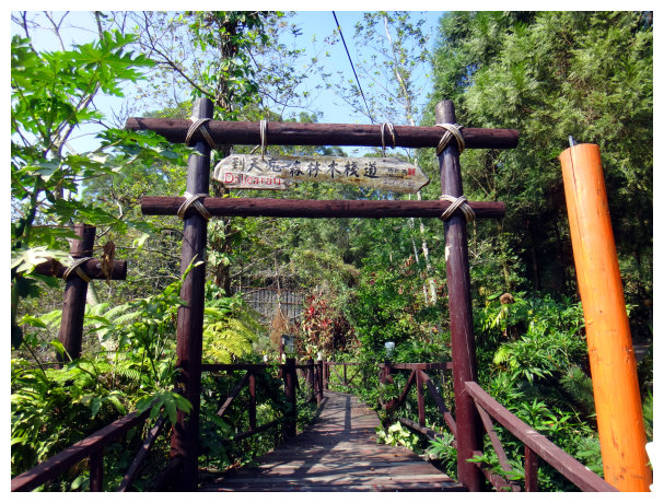
09:32 parked at New hiking trailhead.( It was 18.9 kilometers away from the police station.) and saw a sign <Da Wu Shan Leisure farm大武山休閒農場服務山友>. After getting everything ready for 10 minutes, we climbed over the fence by a wooden ladder and started our hike.
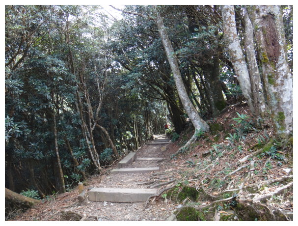
10:20 went up, and it connected with a cement road. We took the left path and kept going on the cement road.
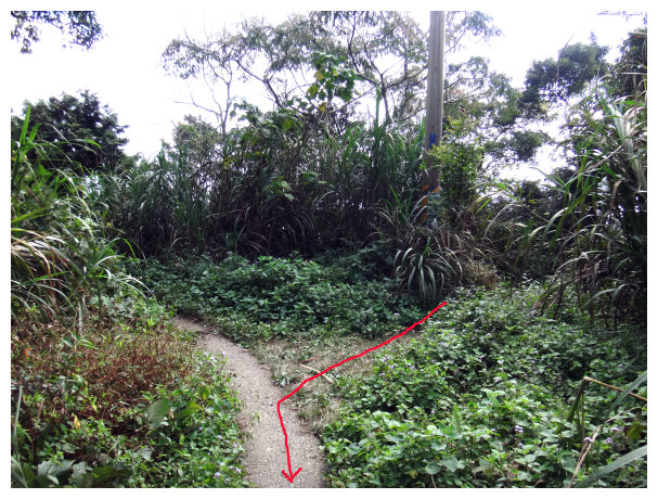
10:30 At a junction of 3 roads. There was a bulletin board made by Forestry Bureau on the left. We took the middle path to go. (in Taiwan, hikers usually tie stripes in the trees to direct the trails for hiking.)
10:50 at the turning point of the path. We took a 10-minute break at a flat area.
11:06 at a junction of 3 paths. Going up straight was for Ritangzhenshan(日湯真山). We saw a sign <New Dawushan Hiking Trailhead 1.3 kilometers away& Old Dawushan Hiking Trailhead 1.8 kilometers away > and took the path on the right to go.
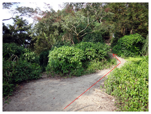
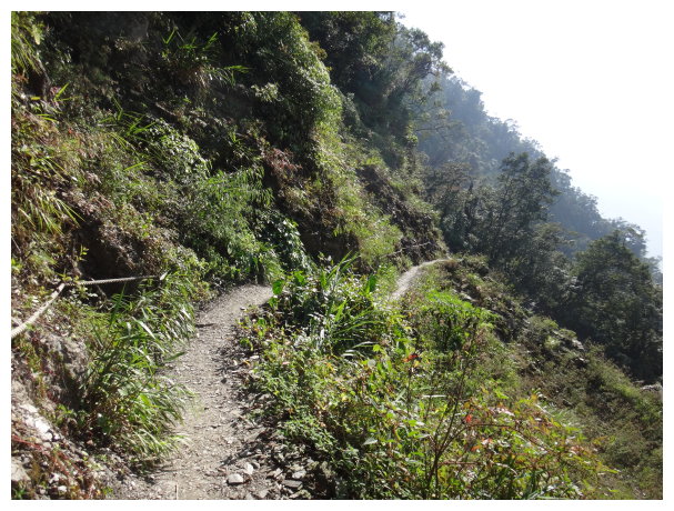
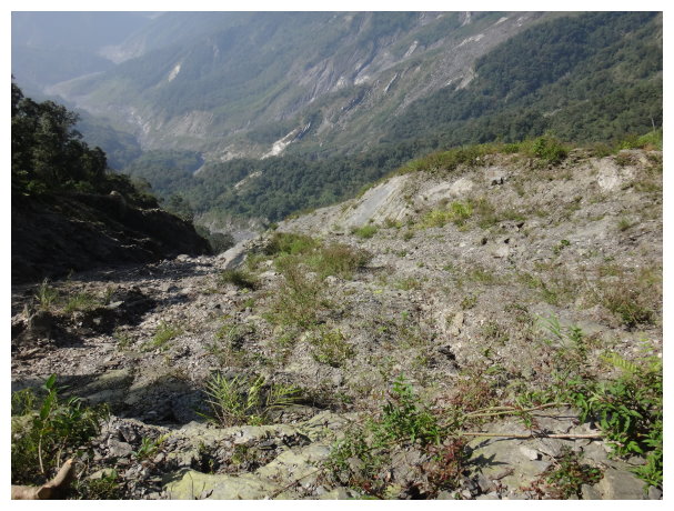
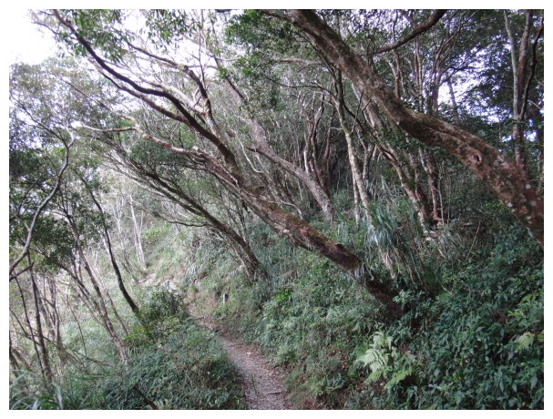
11:22 the path connected with a soil road. We took the left path and went up. (there was a warning strip blocking the path on the right side. Could not go to the right path. A cliff was ahead.)
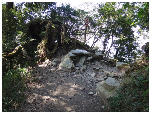
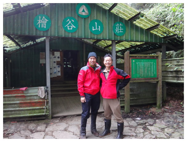
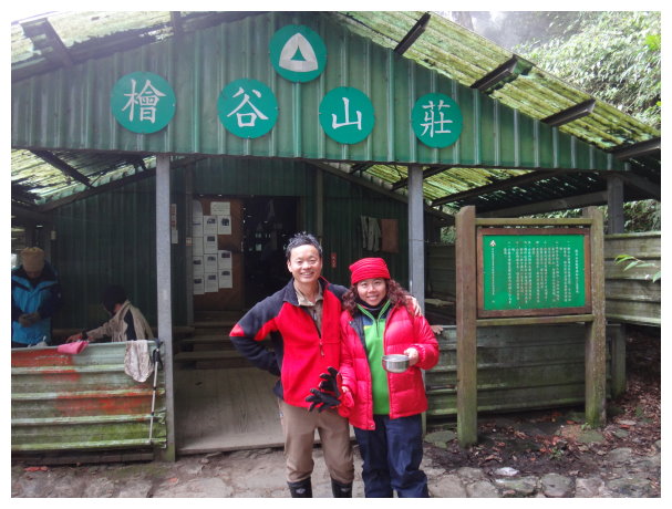
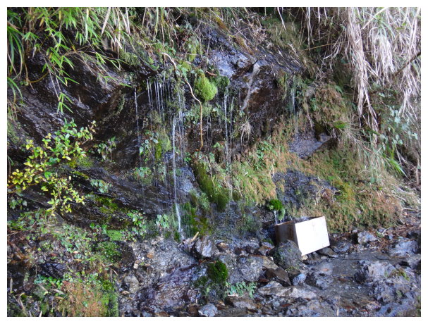
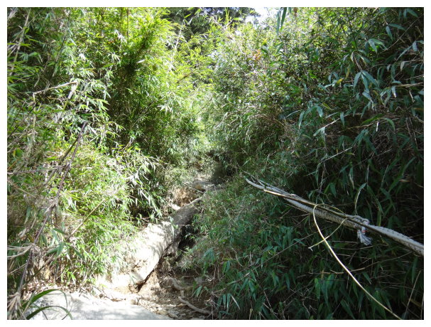
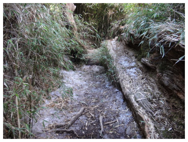
11:40 at Old Hiking trailhead. Old Fawan Trail(舊筏灣步道) was at the lower left. A toilet was at about 100 meters away, and there was a water source. Another water source was about 600 meters away. There was an interpretive panel and Forest District Office beside the old hiking trailhead. <0K&1547M> that was showing the distance and altitude. After taking a 30-minute lunch break, we started hiking.

12:33 <at kilometer 0.5> the distance marker of Dawushan hiking trail.
12:46 <1K&1553M> the distance marker and the altitude.
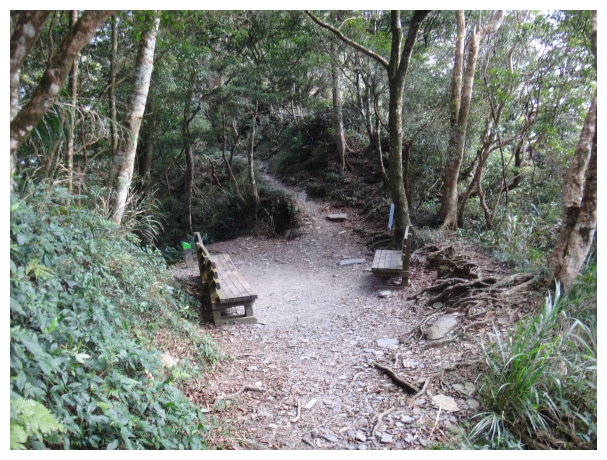
13:15 <1.75K> there was a rock chair for rest. Took a 20-minute break.
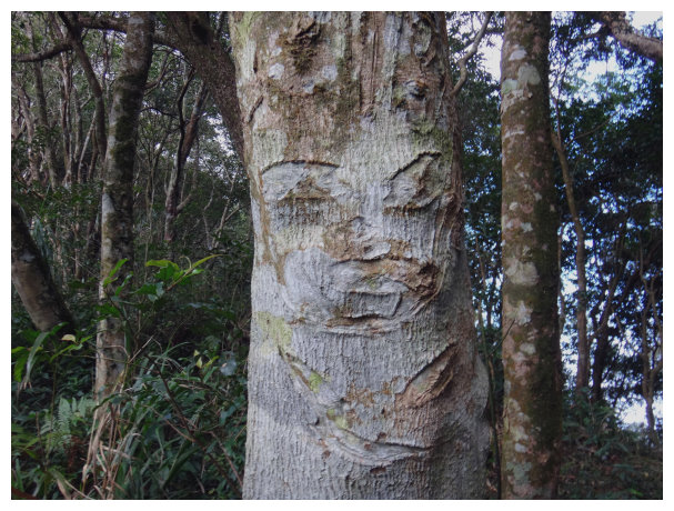
14:02 <2.5K&1796M> There was a bench for rest, and we found something it looked like a face engraved on a tree. Took a 20-minute break.
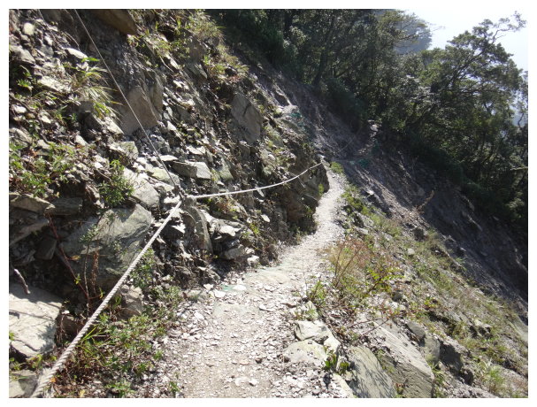
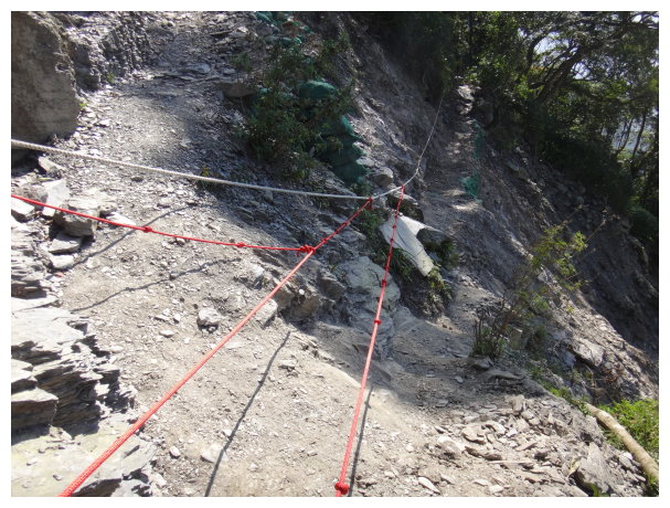
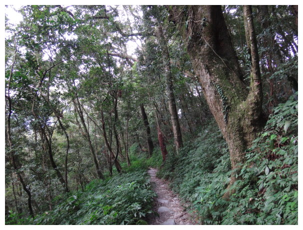
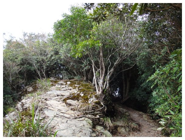
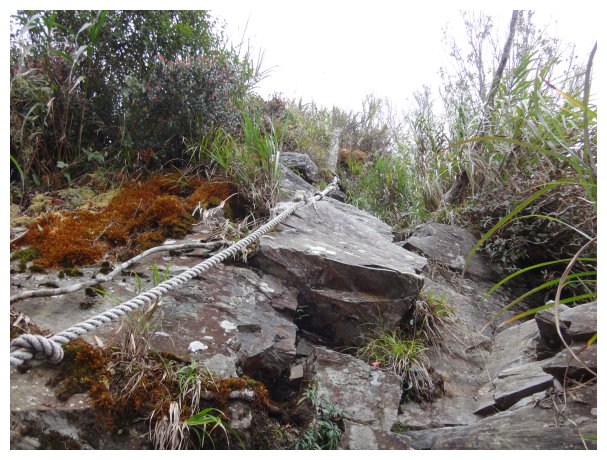
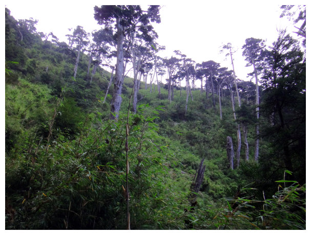
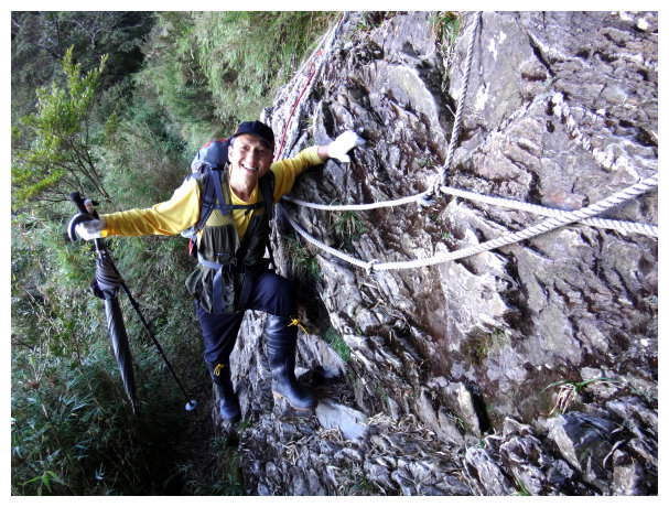
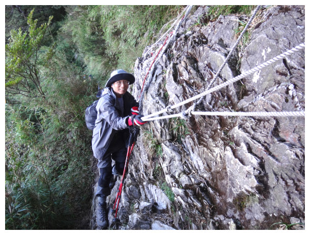
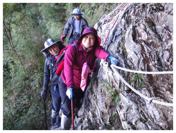
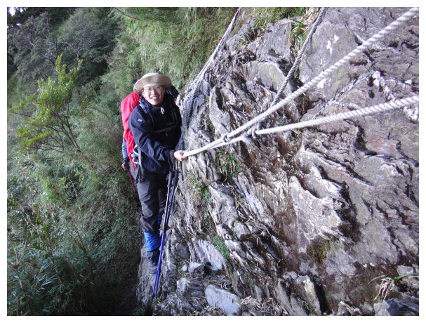
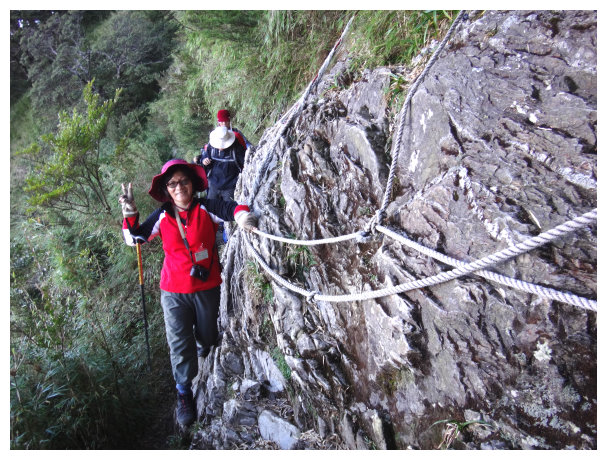
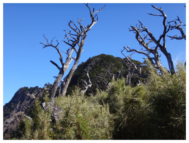
15:00 <3K> this area was growing alpine rhododendrons. After going further for 300 meters, we grabbed ropes for climbing up.
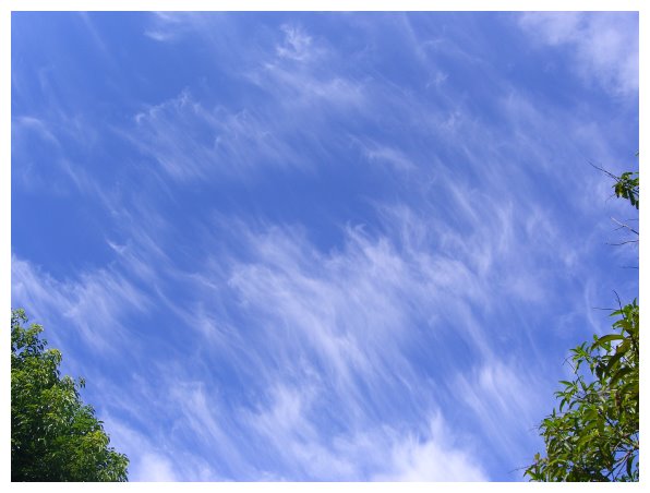
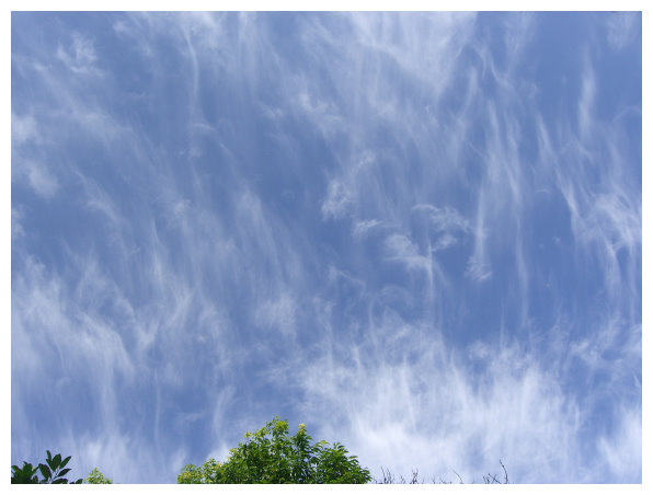
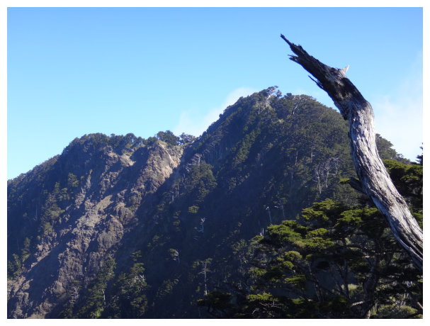
15:38 <3.8K> Kitley Cliff (喜多麗斷崖), here was the best spot to watch the sunset, the sea of clouds and the cloud waterfall. We watched the scene for an hour and then went down to the Kuaigu Cabin.
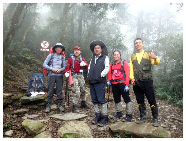
16:45 at a junction of 3 paths ,to Dawu Shrine(大武祠) was 4 Kilometers away. To the hiking trailhead was 4 kilometers away ,and to the summit of Beidawushan was 5 kilometers away. 。<2150M> altitude。We took the left path to the Kuaigu Cabin.
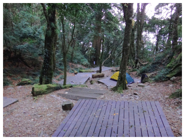
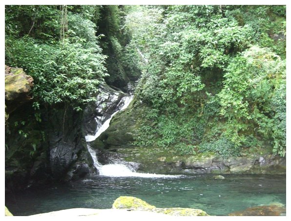
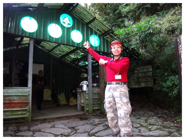
16:50 the Kuaigu Cabin was at kilometer 4.2 . It could accommodate 45 people and offered sleeping mats, a kitchen and toilets. There was a waterfall near the cabin.
D+2 the Kuaigu Cabin / Dawu Shrine / Beidawushan / the Kuaigu Cabin (rise 940 meters and hike 5.2 kilometers from the cabin)
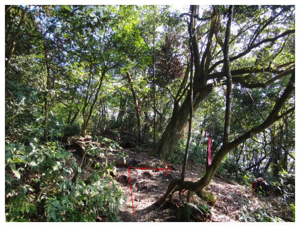
06:00 started our hike from the Kuaigu Cabin. At kilometer 4, it was a junction of 3 paths, and we took the left path to go up.
06:30 <4.5K&2286M> the distance marker and the altitude of Dawushan hiking trail.
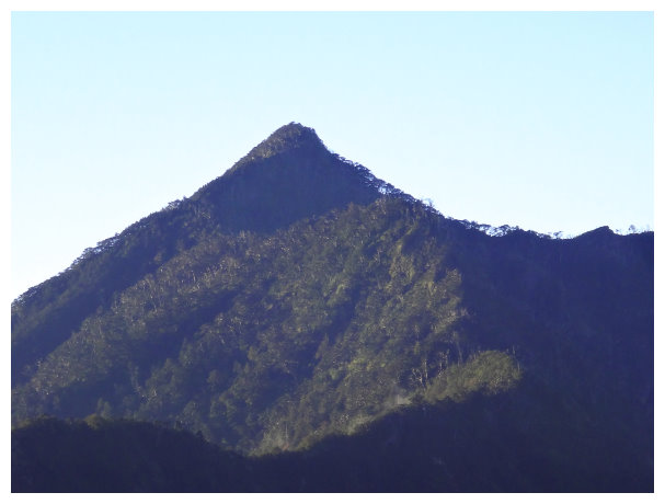
07:00 there was a lookout spot watching Nandawushan (南大武山)
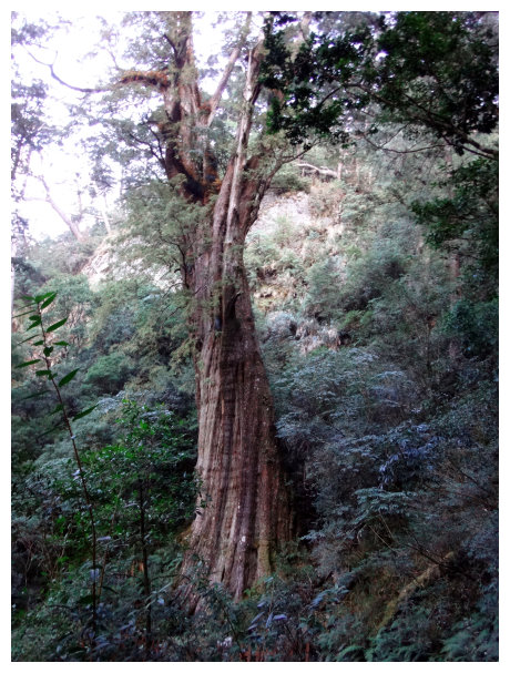
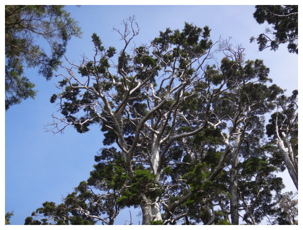
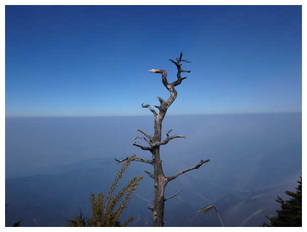
07:28 a Sacred Tree (it was at kilometer 5.4). the age of the tree is about 1000 years. We took a 15-minute break and took pictures.
08:12 a water source was at about kilometer 6.3 .
09:20 <7K&2802M> some ropes for climbing up and passed through arrow bamboo to the top.
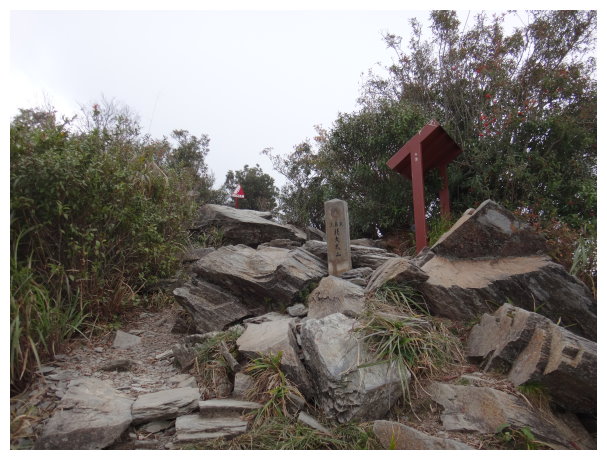
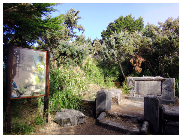
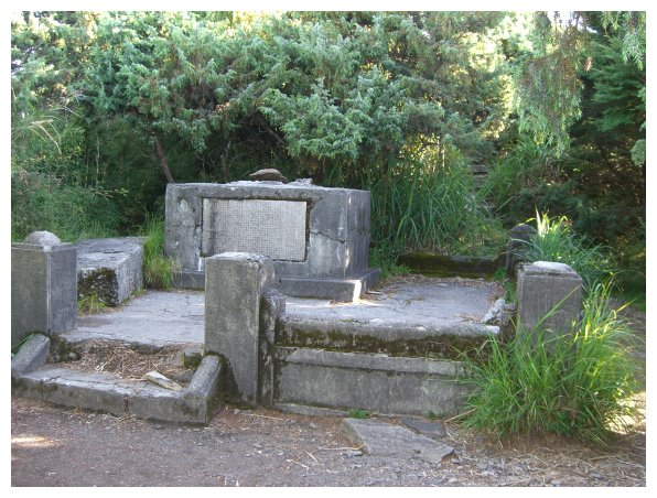
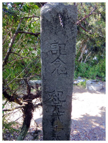
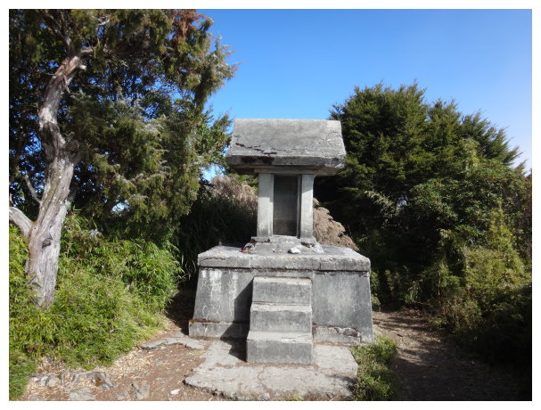
10:10 A monument to memorize the aboriginal volunteer army during the second World War(高砂義勇軍紀念碑). Dawu shrine was at kilometer 8, with an elevation of 3090 meters. We took a 20-minute break.
11:05 <8.5K&3010M> the distance and the altitude of Dawushan hiking trail.
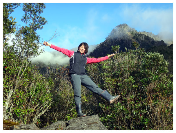
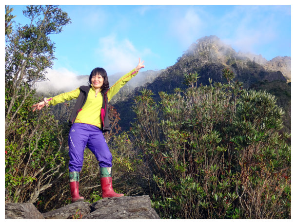
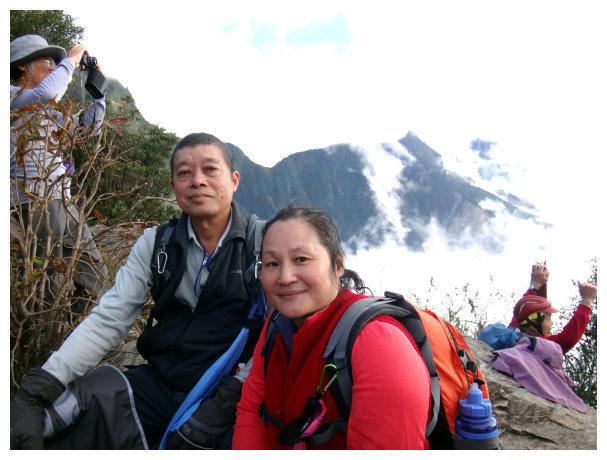
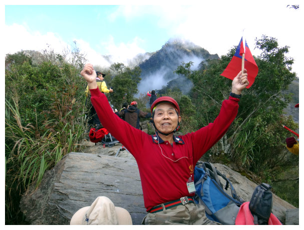
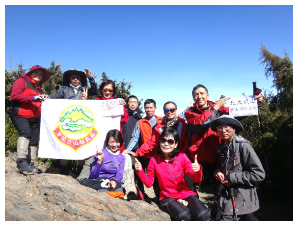
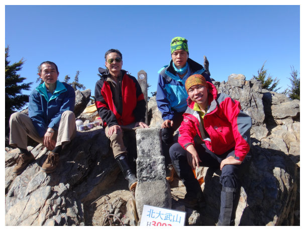
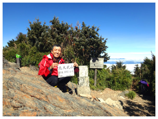
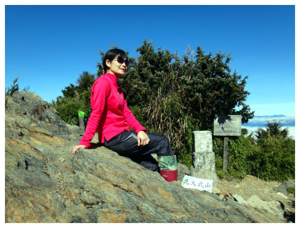
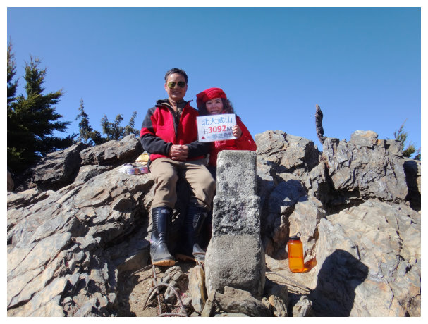
11:39 At the summit of Beidawushan. The view was fantastic. After having lunch and taking pictures for an hour, we took the original path to return.
16:10 back to Kuaigu Cabin for the night.
D+3 Kuaigu Cabin / the old hiking trailhead /the new hiking trailhead / drove home
06:30 return from Kuaigu Cabin
10:00 back to the old hiking trailhead and took a 30-minute break.
11:15 back to the new hiking trailhead and got on a bus.
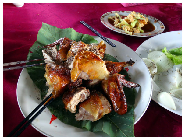
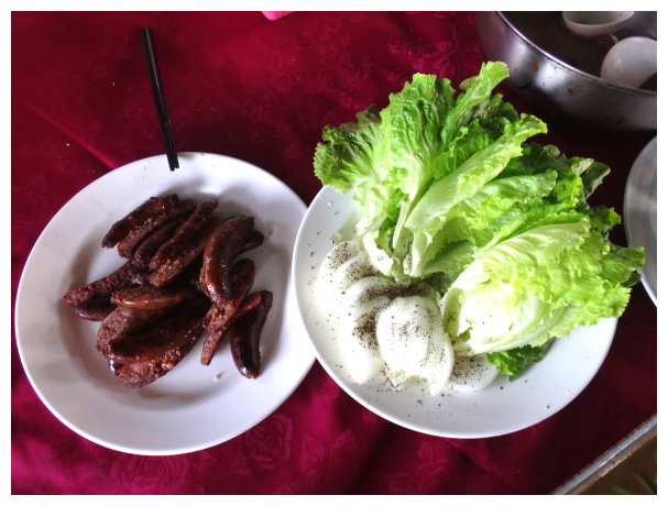
11:50 back to Da Wu Shan Leisure Farm for lunch to celebrate having a happy journey.
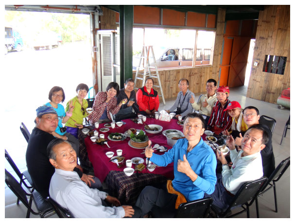
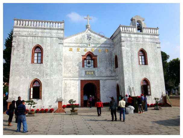
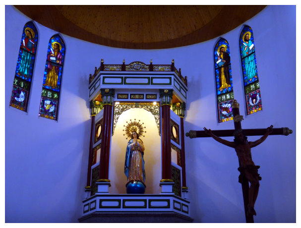
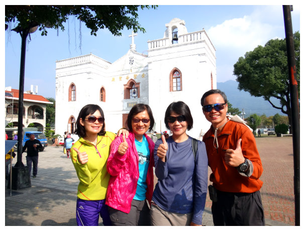
13:40 After visiting Wàn jīn church(萬金教堂), we drove and back to Chiayi.
與人事同仁合影於萬金教堂
15:30 dismissed at Chiayi station
