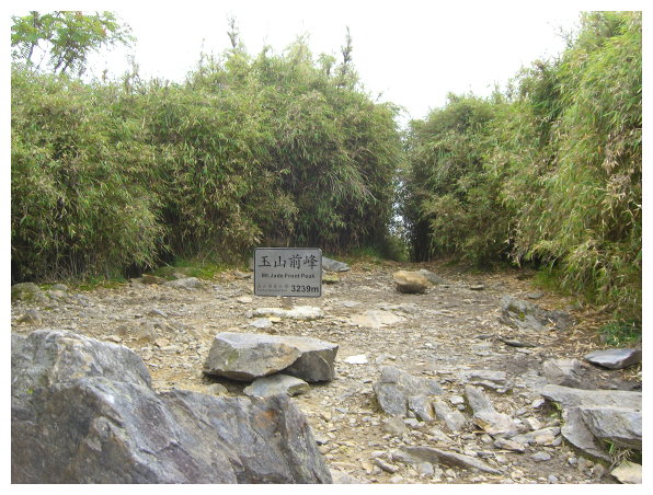
Yushan Front Peak(玉山前峰)
玉山前峰海拔3255 公尺,百岳排名#65,山頂無三角點,有一白鐡字座,前峰屏蔽著玉山主峰,是主峰的前衛,也是玉山群峰中最輕鬆的一座。日治時期名為前山、新高前山,行程雖不長,但2.7K登山口到登頂的800公尺路,陡上加上石頭區的緩陡上行程, 距離雖短,其難度也不輸走到排雲山莊的難度。全程來回7公里,約4-5小時的步行時間。
Yushan Front Peak: an elevation of 3255 meters, was ranked No. 65 on the list of 100 Peaks in Taiwan. There was no summit mark on the top. It was the easiest hike among those Yushan mountains, and it took about 4-5 hours hike, which was 7k long back and forth.
Itinerary:
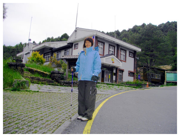
08:40 塔塔加停車場下車整裝。
08:40 Tataka Parking lot. Got ready to hike.
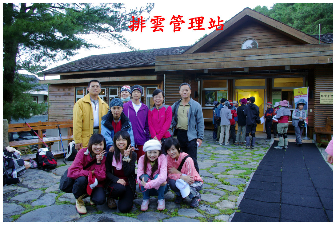
09:15 5 minutes walk to Tataka police station and Paiyun Mountaineering Center for checking the permits.
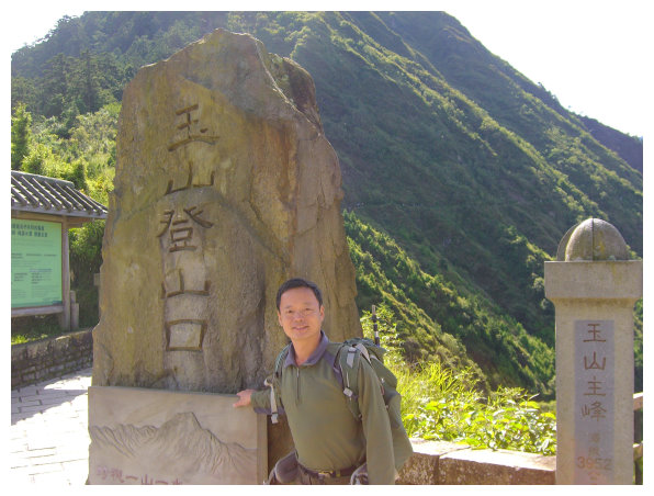
10:00 took the shuttle bus to the trailhead of Mt. Jade. It was 2.7K long. The trailhead was about 2600 meters above the sea level. There was an observation deck on the right.The source of Nanzihsiian River was below. That the trails to Lu Lin Shan(鹿林山), Shi Shui Shan(石水山), Lu Lin Qian Shan(鹿林前山), Lin Tou Shan(麟趾山) were across from the trailhead of Mt. Jade.
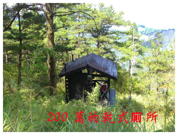
10:30 at 1.7 K, hikers usually take short break at Monroe Pavilion(孟祿亭), which stands on an elevation of 2838m and is located at the border of temperate forest and cold forest area. (There is a dry-eco toilet on the right behind the pavilion.)

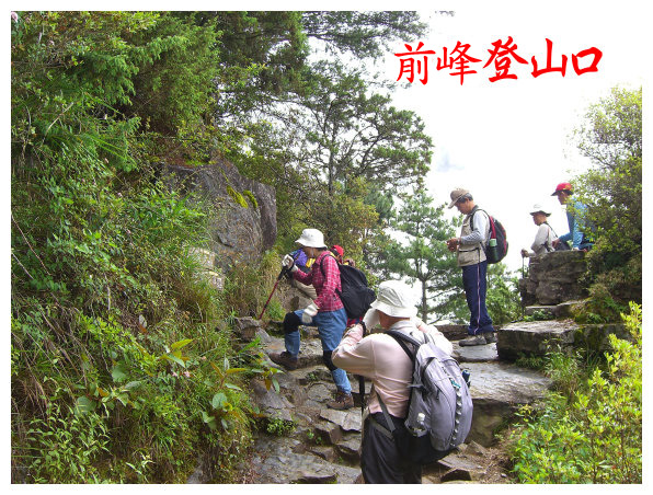
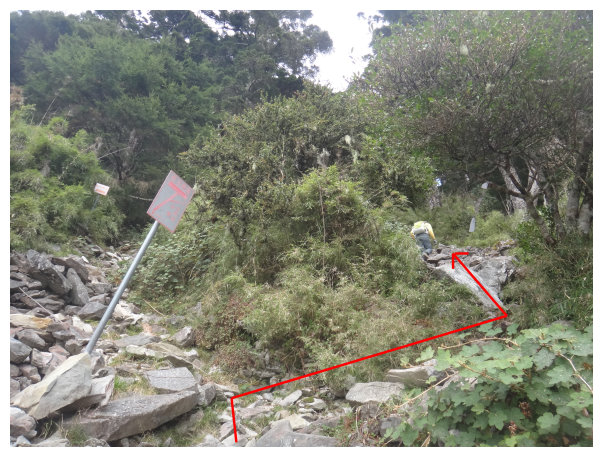
11:00 got to 2.7K, here was the trailhead of Yushan Front Peak. There was a sign said <to Front Peak 0.8K>. It usually took 60-90 minutes hike to the top. We took a 15-minutes break.
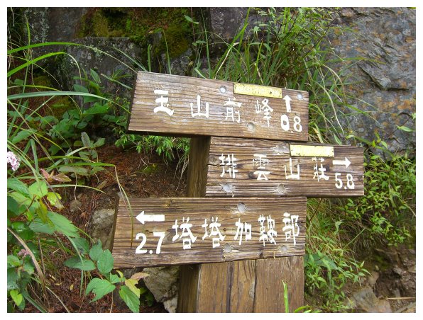
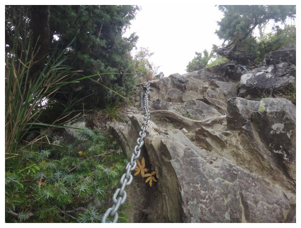
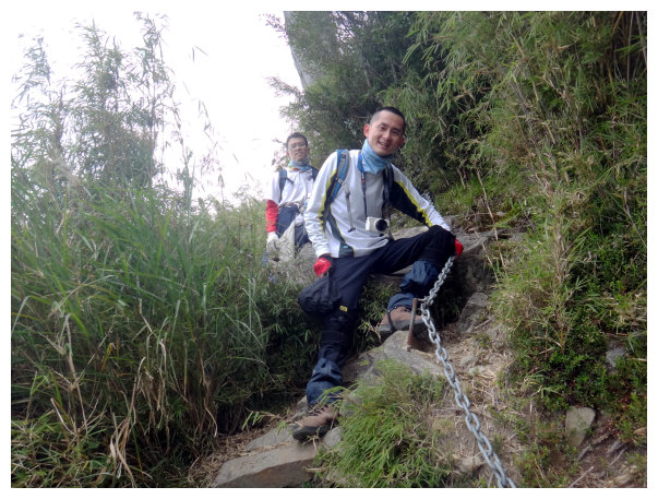
11:04 < to the trailhead 0.2K and to the top of Front Peak 0.6K>. hiking 3 minutes later, we saw a chain.
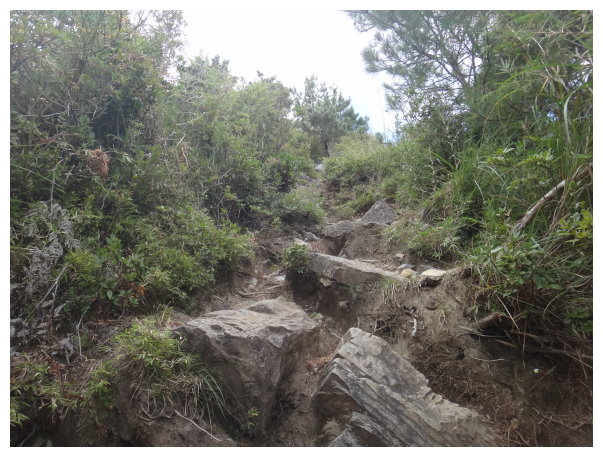
11:10 a sign said < to the trailhead 0.4K and to the top 0.4K>. it was a slope
covered with gravels and rocks.
It was 400meters long from here to the top,and
the change in elevation was about 300meters.
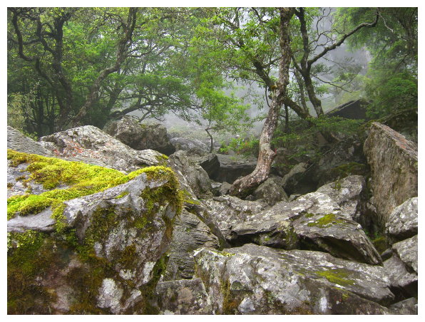
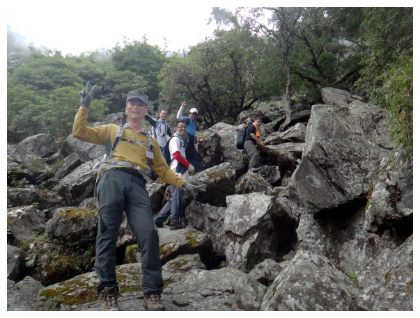
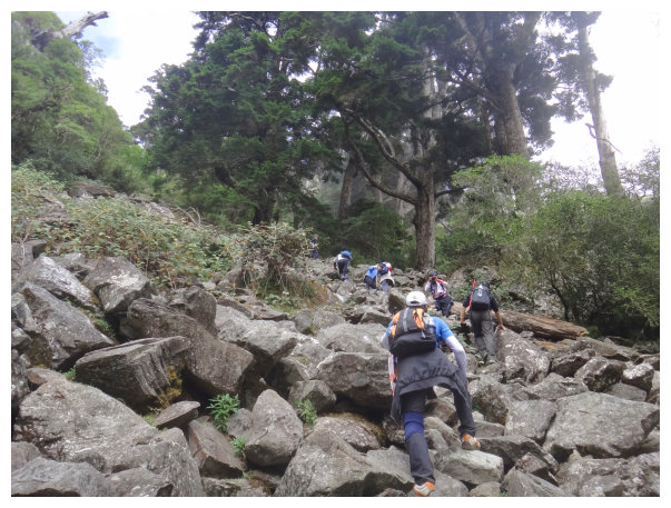
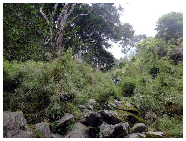
11:22 a sign indicated to turn right. Kept climbing up and watched out for walking on the unstable rocky path.
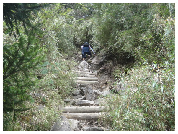
11:38 it was the only wooden trail in this hike.
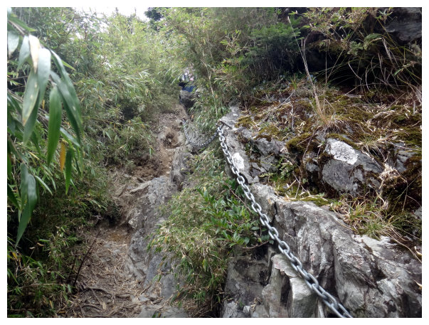
11:42 the third chain. a steep slope.
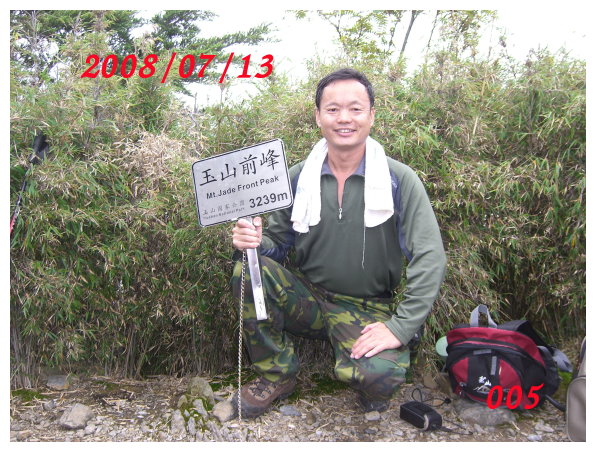
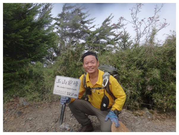
11:45 To the summit of Yushan Front Peak. Arrow bamboo was all around. Yushan West Peak was on the right side. Yushan North Peak was on the right front. Yushan Main Peak was between West Peak and North Peak. Standing on the top could see all fantastic view.
又年長了四年,老多了吧!
14:00 回玉山登山口坐接駁車回嘉。
14:00 back to the trailhead of Mt.Jade(Yushan).
another journey:
06:00 set off from Chiayi.
08:00 Got to the gate of Alishan Recreation Area, and turned right to New Central Cross-Island Highway.
08:40 got off at Tataka Parking Lot. After handking in the permits at Paiyun Mountaineering Center and watching the eco-friendly film,we took the shuttle bus to the trailhead of Yushan.
