Daba Peaks(大霸群峰) difficult ranking: 7(-3)、view ranking: 8
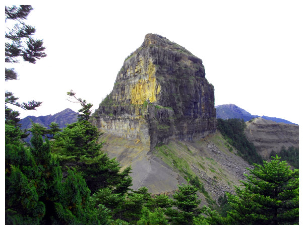
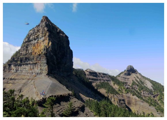
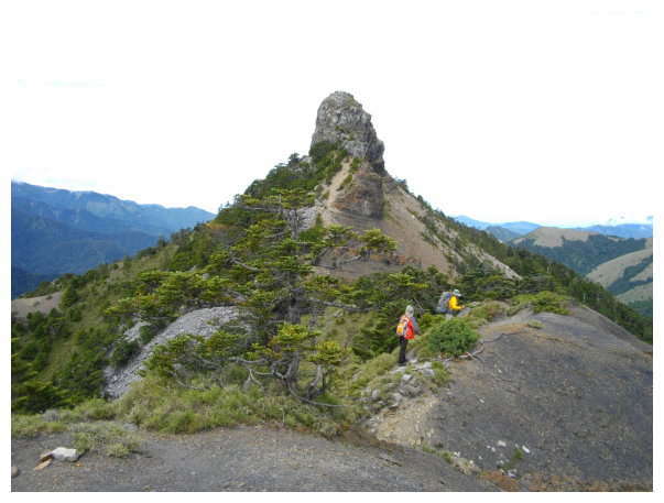
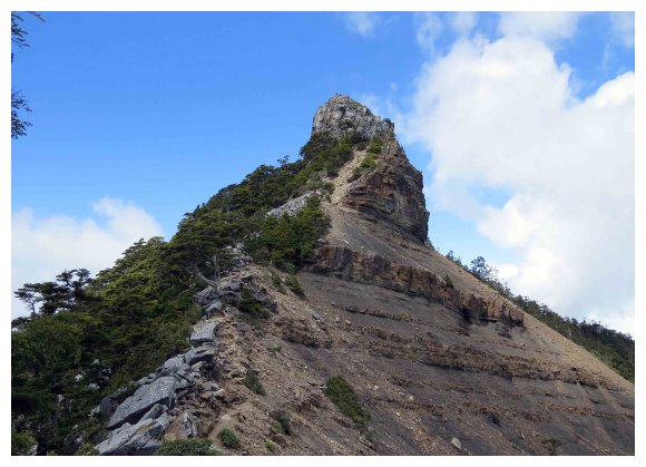
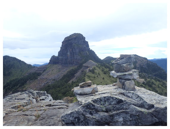
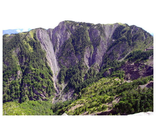
Dabajian Mountain is located between Hsinchu County and Miaoli County, which is at the end of holy ridgeline north in Xue Mountain Range. Its uplifted peak looks like an inverted large wine barrel.
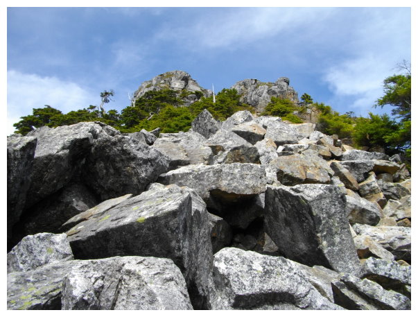
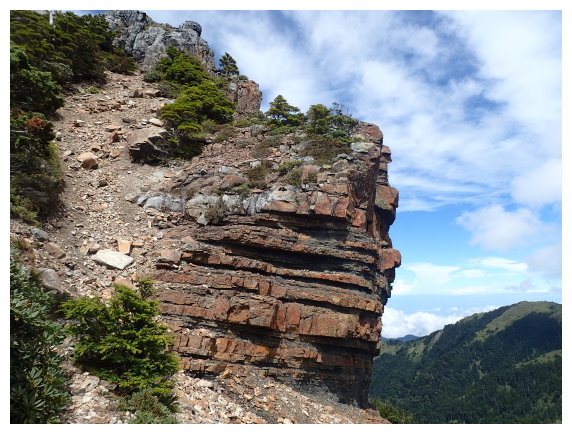
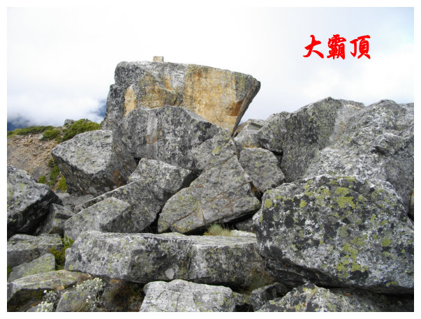
It’s a rocky mountain, and the shape is daunting. It is known as “Century Amazing Peak”, and it is also the one of “Taiwan Triple Sharp Mountains”.(Taiwan Triple Sharp Mountains are Dabiaojian, Zhongyangijian and Dafenjian.)
Mt.Dabajian is the ancestral home of Atayal and Saisiyat aborigines, and it has always been respected as a holy mountain.
The trailhead is at Madala Creek ,the end (at kilometer 19) of East Branch of Dalu Forest Road in Guanwu .Daba Peaks are Mt. Jiali, Mt. Yizhe, Mt. Dabajian and Mt. Xiaobajian which are listed on “Taiwan 100 peaks”.
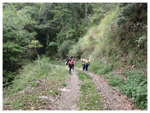
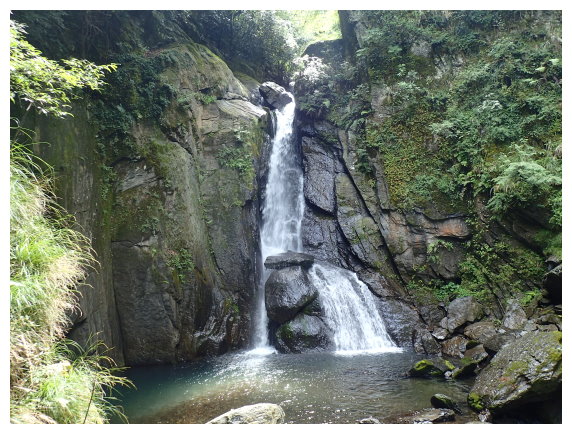
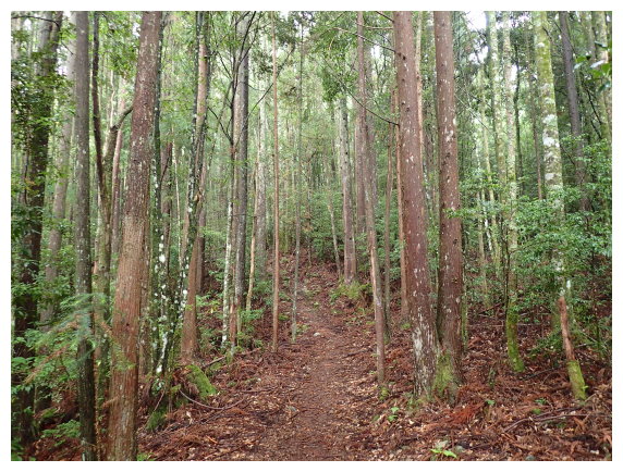
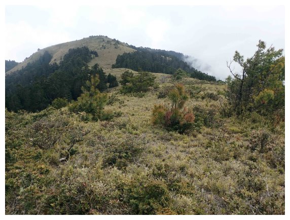
The path along the creek is well maintained from Forest Road inspection station to the trailhead. There are distance markers every 100 meters, and tables for taking a break. Some waterfalls on the way and the mountains aside are nice scenery to enjoy.
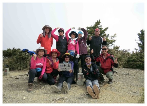
Mt.Jiali(加利山): an elevation of 3112 meters. No. 87 on the list of Taiwan 100 Peaks. There is a summit marker no. 6619 on the top. difficulty ranking : 5
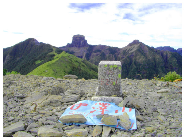
Mt.Yizhe(伊澤山) : an elevation of 3297 meters. No. 52 on the list of Taiwan 100 Peaks. There is a summit marker no.6251 on the top. difficulty ranking
: 5.2
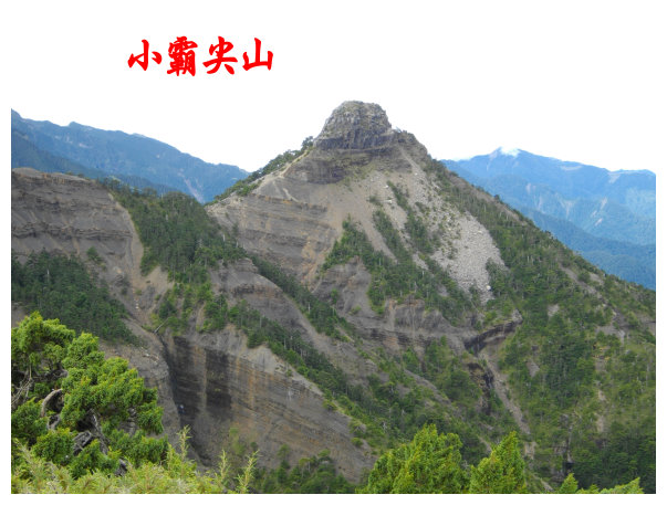
Xiaobajian(小霸尖山):Mt. Xiaobajian : an elevation of 3418 meters. No.32 on the list of Taiwan 100 Peaks. difficulty ranking: 7
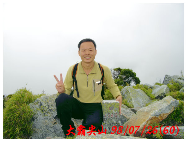
Mt.Dabajian(大霸尖山) : an elevation of 3492 meters. No.27 on the list of Taiwan 100 Peaks. There is a summit marker no.1540 on the top. difficulty ranking: 6.2
details
D-1 Chiayi / Zhudong / Qingquan
16:30 started from Chiayi to National Highway No.1
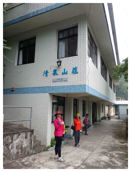
19:00 exited at Zhudong Interchange. Followed the directions to Shei-Pa National Park / turned right to county way No.123 and then turned left after going through a bridge / turned right at Jhudong Veterans Hospital / turned left at a gas station to county way No. 122 (having dinner)/ at kilometer 31.5 in Hengshan Village / at kilometer 44 Taoshan Tunnel / an intersection of Qingquan Scenic Area and Qingquan Villa at kilometer 47.5 . going straight to Qingquan Villa(清泉山莊).
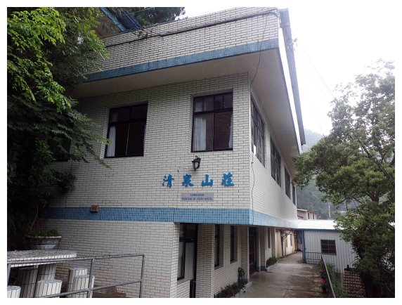
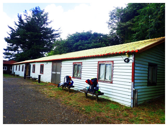
21:30 got to Qingquan Catholic Church in Wufeng Township. Stayed at Qingquan Villa (清泉山莊) (0921-632897 / a person NT500 (breakfast included, but it didn’t offer personal toiletries items) )
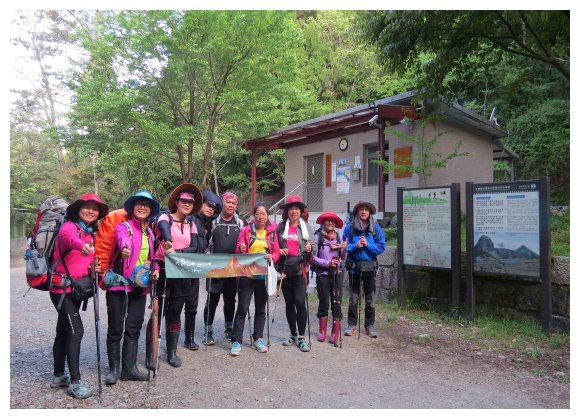
D1 Qingquan / Guanwu Visitor Center / inspection station / Dalu Forest Road, 19 kilometers long, to Madala Creek / hiked 4 kilometers to Jiujiu Hut (99 Hut) and stayed for a night (took 8-10 hours to hike 23 kilometers)
06:00 started from Qingquan Catholic Church (It was 30 kilometers away from Guanwu inspection station.)
06:45 Guanwu Police Station and Visitor Center (the inspection station opens from 5 A.M.)
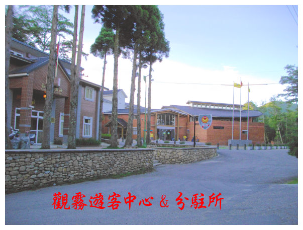
07:00 Guanwu inspection station. <At kilometer 0.4> It opens from 5 am to 11 am.
08:45 < at kilometer 6.7> took a 10-minute break.
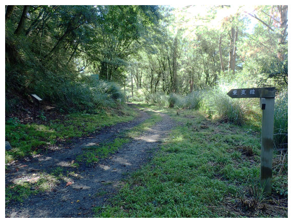
09:05 an intersection of East Branch of Dalu Forest Road. <at kilometer 9.8>. We went straight and then took a 10-minute break.
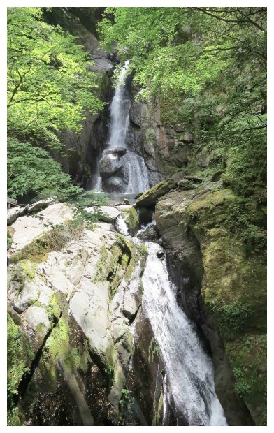
10:40 a waterfall <at kilometer 14.5> took a 20-minute break.
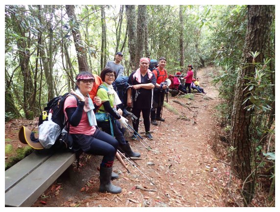
11:10 a shelter <at kilometer 15.2>. It could accommodate 10 people.
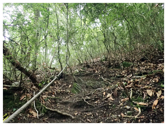
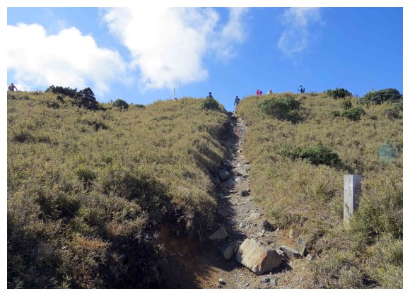
11:30 <at kilometer 17> we took a short break. There was a road reflecting mirror at the tuning point and a rope for going down to a shelter beside Madala Creek. That was a shortcut for saving 2 kilometers long to the trailhead. We took the shortcut and went down.
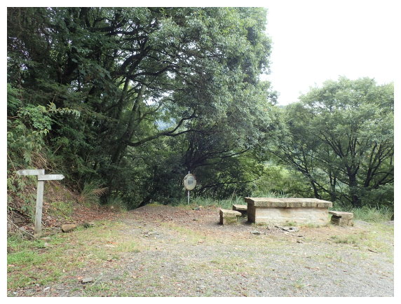
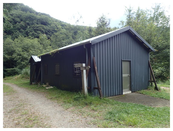
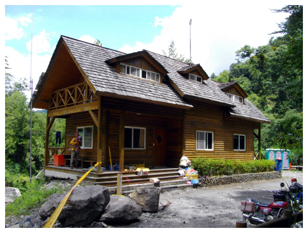
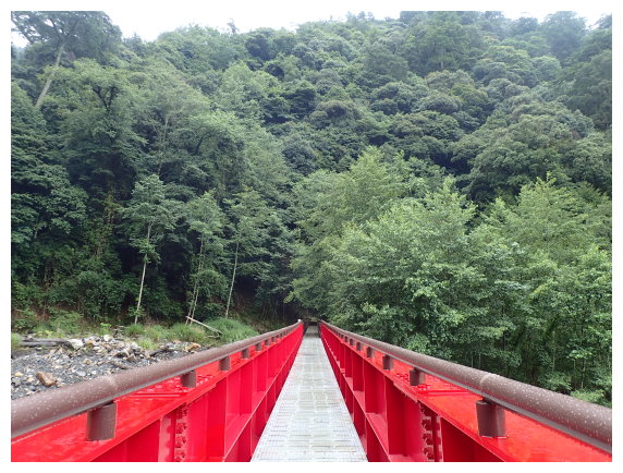
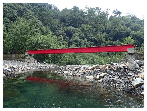
11:40 got to the shelter at kilometer 19, an elevation of 1750 meters. There was a Madala Creek suspension bridge at the upper left and there was the only toilet along this Forest Road at the lower right< kilometer 18.9>, and a beautiful wooden building nearby. We had a lunch for an hour by the creek.
13:00 restarted. A sign showed the direction to Mt.Dabajian 11.47 kilometers away. We walked up on a switchback trail.
13:50 went up to <kilometer 0.9>, and took a 15-minute break.
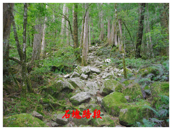
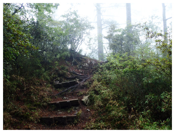
14:25 It was a rocky trail from <kilometer 1.9>.
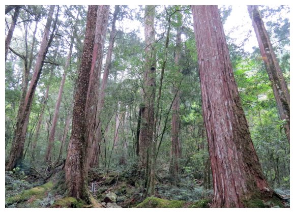
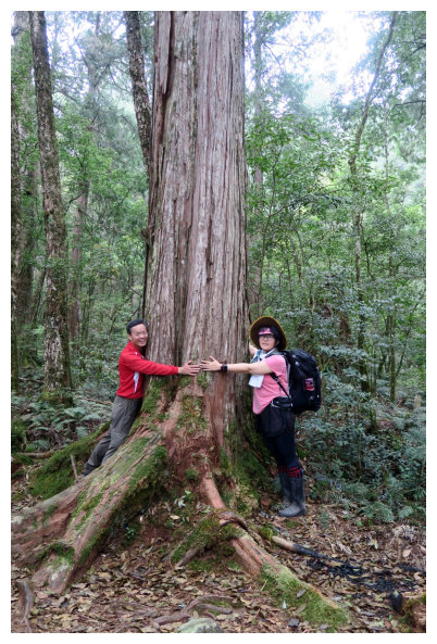
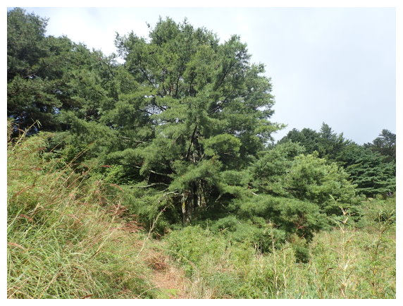
14:50 <kilometer 2.3> This is an area of Taiwan Cypress. We took a 20-minute break. Some warning signs alerted us to the fallen trees.
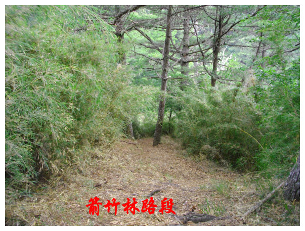
15:55 at <kilometer 2.9> the path began going down for a little. From kilometer 3.15, we passed through arrow bamboo groves.
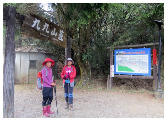
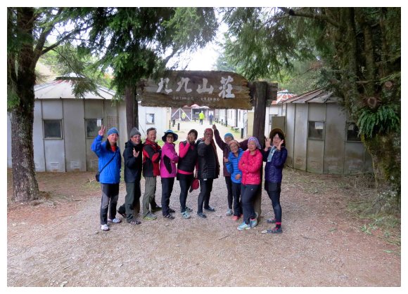
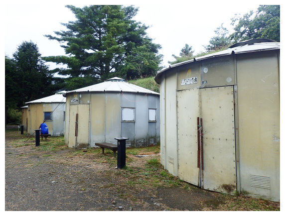
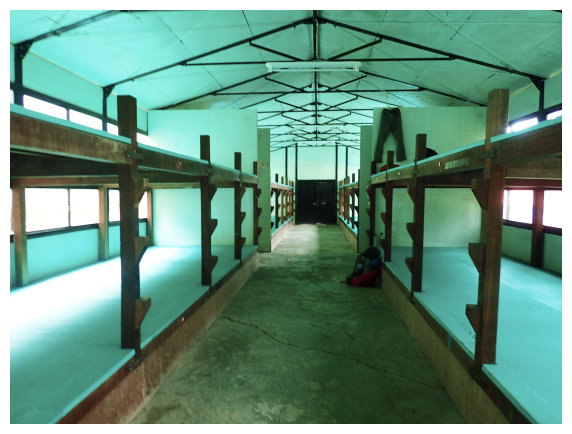
16:40 arrived at 99Hut. <kilometer 4.05/ an elevation of 2699M>. it can accommodate 400 people. NT200/each person. It didn’t offer hot water for shower. There was a kitchen, and you can cook by yourself or have the mountaineering agency cook for you.(2 meals a day-- breakfast and dinner. NT850-1000 a day.) You can ask the Hut’s master about the appropriate time on the next day for hiking the summit of Mt. Dabajian.
D2 99Hut / Mt. Yizhe / Zhongba Ping shelter (中霸坪山屋) / Mt. Dabajian / Mt. Xiaobajian / Mt. Jiali / back to 99Hut (took 8-10 hours to hike 23 kilometers)
04:05 started our hike
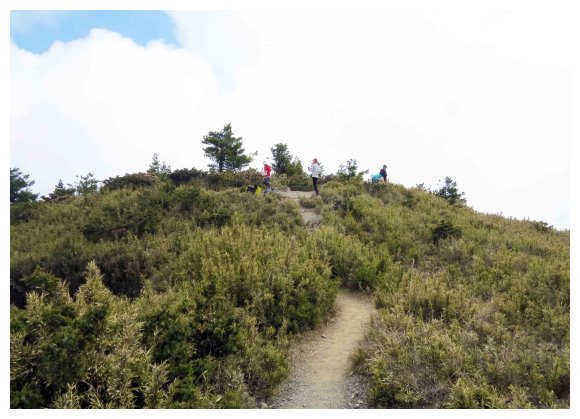
05:20 got to “3050 Highlands”, It’s an intersection and the trailhead of Mt. Jiali. A direction board said <right to Mt. Jiali 1K> and <6K>. We went straight up to the high point of this trail <6.9K>, and then went down 2 kilometers. After passing a wooden suspension bridge, we went up again.
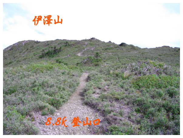
07:00 got to <8.8K>, the trailhead of Mt. Yizhe. A direction board said < to Mt. Yizhe 0.5K & Mt. Dabajian 2.5K>. after taking a 20-minute break, we took the left path to Mt. Yizhe.
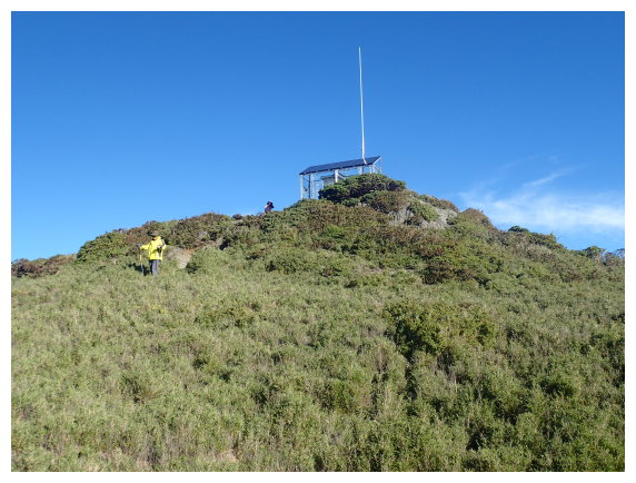
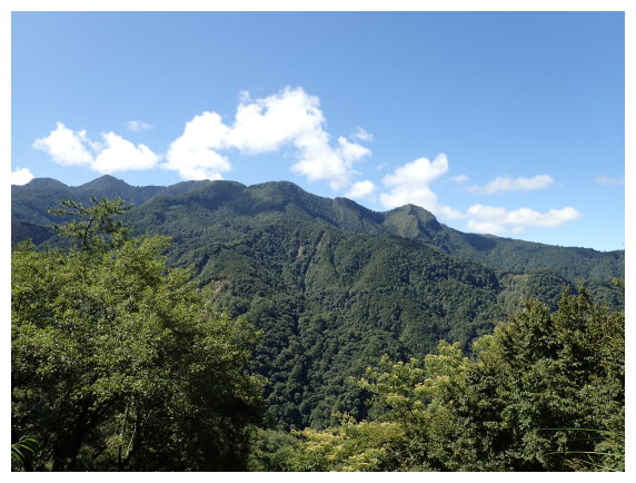
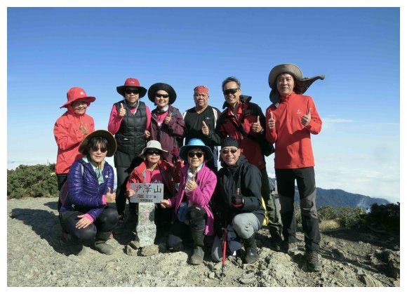
07:30 Mt. Yizhe. There was a summit marker and a gauging station. Mt. Daba and Xiaoba were taking in sight. After taking pictures for 20 minutes, we went back to the trailhead of Mt. Yizhe.
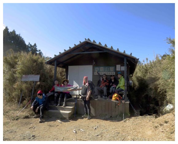
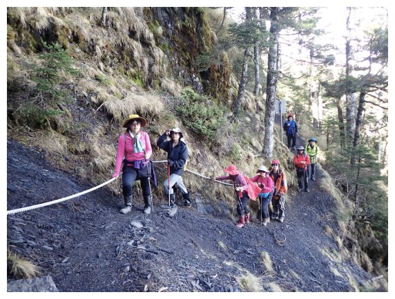
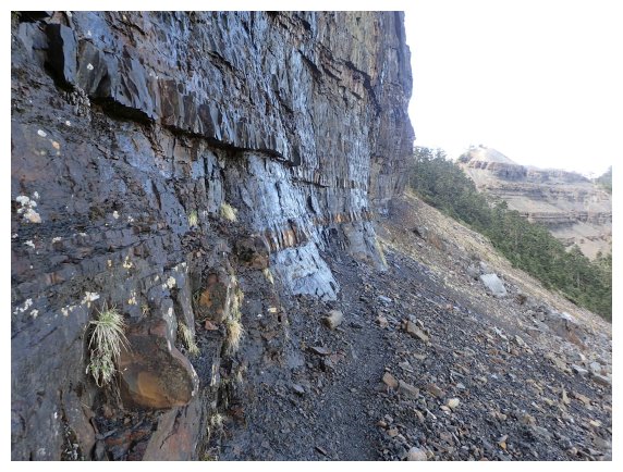
08:15 got to <9.6K>. a shelter (中霸山屋) could accommodate 10 people. There was a rain trap behind it. We took a 25-minute break here. Passing a slope by a rope while we were at <9.9K>, a rockslide area.
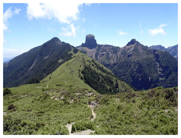
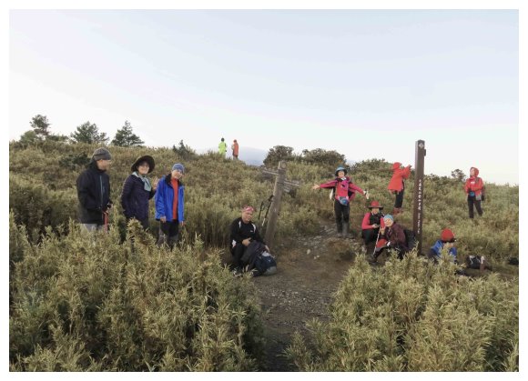
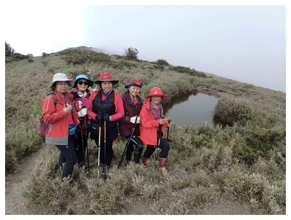
09:30 We were watching Mt.Daba and Xiaoba at Zhongbaping(中霸坪). After taking some pictures, we went down the trail and keep hiking.
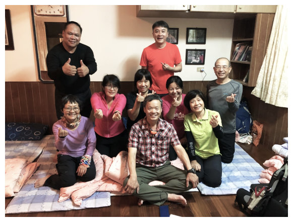
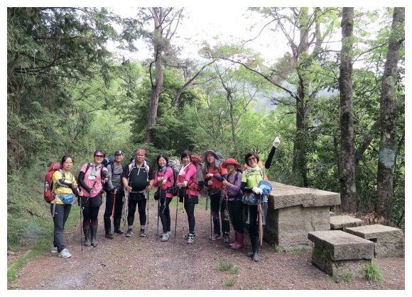
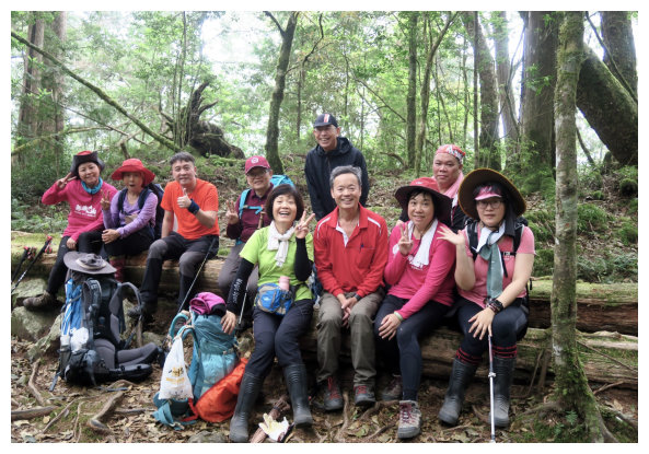
與輝粉合照
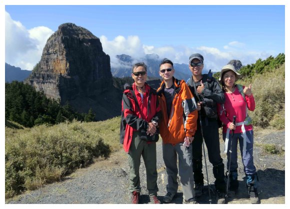
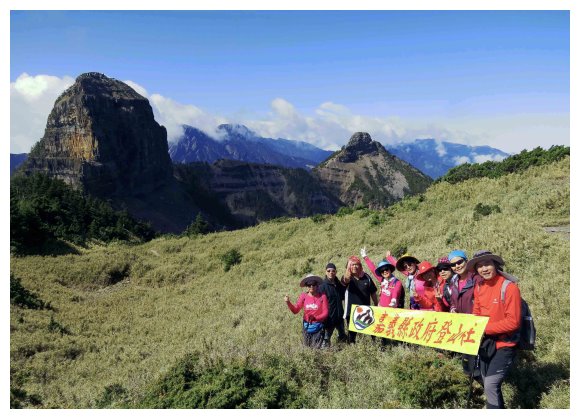
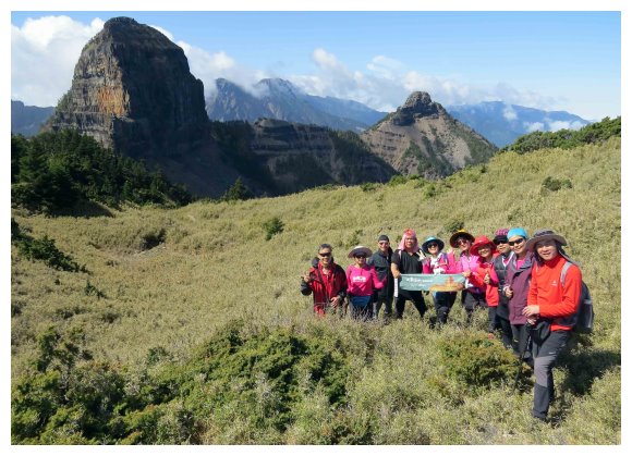
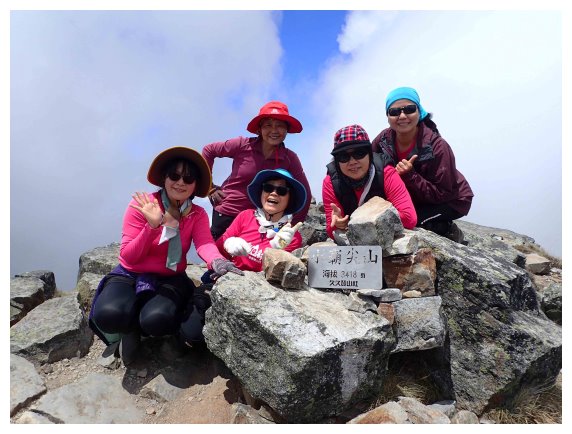
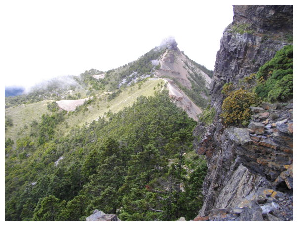
10:00 <11.2K> at Mt. Dabajian. We took pictures for 10 minutes and then walked along the side of Mt. Daba, which was 300 meters long and covered with gravels. Watching out for the gravels fallen from the top.
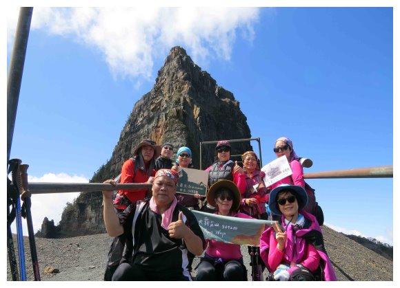
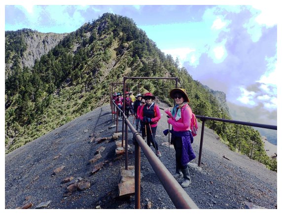
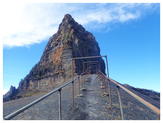
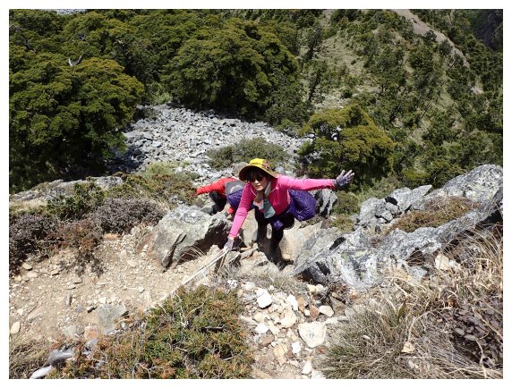
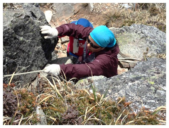
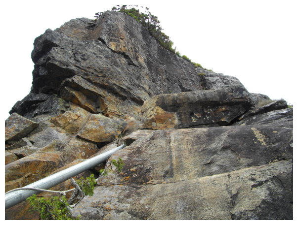
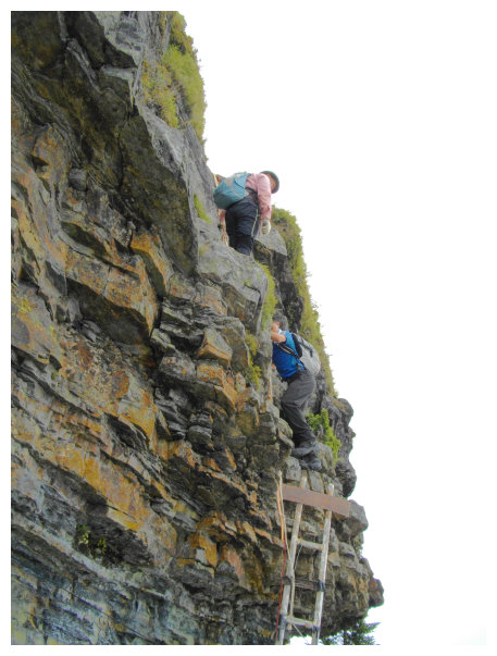
10:24 an intersection at <11.8K>. going left to the trailhead of Mt. Daba and to the Holy ridgeline. We took the right way to Mt. Xiaoba 0.7K. The trail was rocky and up to the top of Mt. Xiaoba. It was a little bit of danger and challenge, and also the toughest part of this hike.
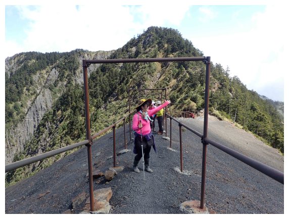
10:34 The viewing platform was below Mt. Xiaobajian. It’s a nice place to watch the majestic Mt. Daba and Mt. Xiaoba. We put our backpacks and trekking poles here. After taking a 10-minute break, we scrambled up the almost vertical slope.
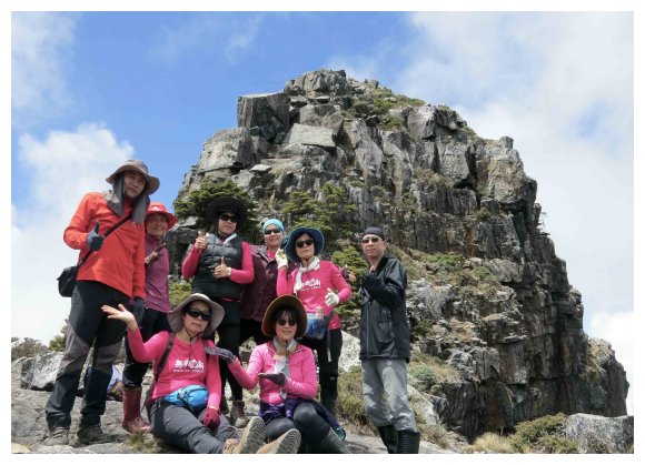
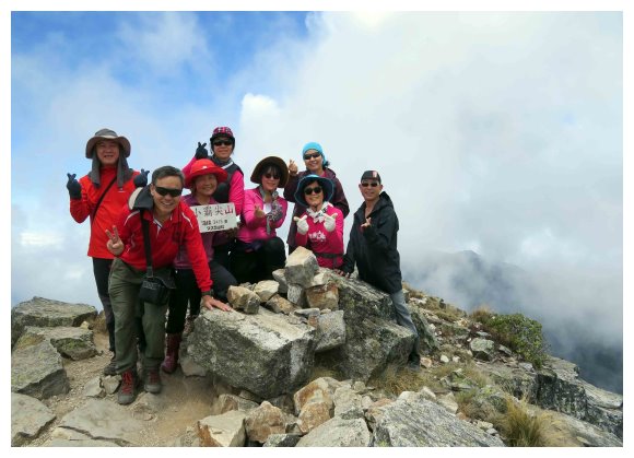
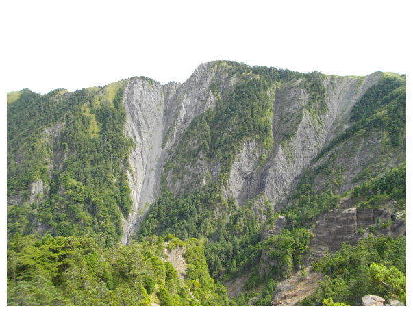
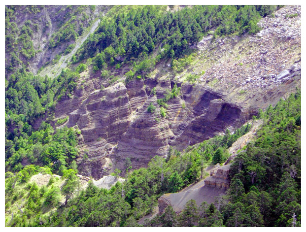
11:00 Mt. Xiaoba. It had 360 degrees panoramic views of the surrounding environment. We took a break for 20 minutes to enjoy the masterpieces of nature. The fault and folds of Mt. Pintian were praised by the Japanese as the most beautiful Holy Ridge Line in Taiwan, and Mt. Dabajian was known as the 20th century amazing peak.
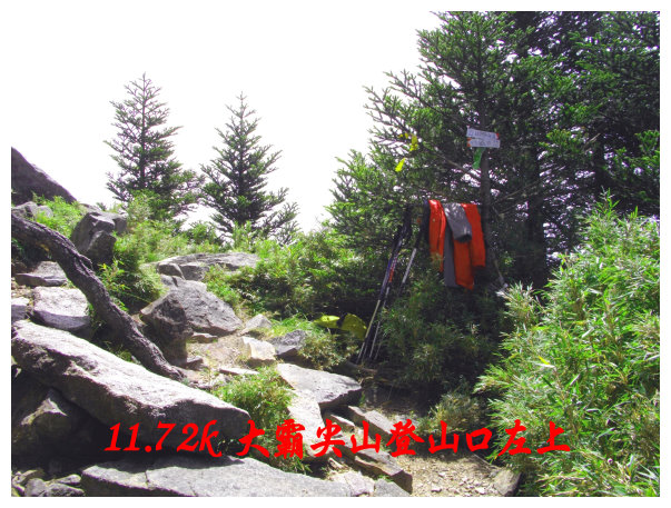
11:50 went back to the intersection <11.8K>, we walked on the trail toward the “Holy Ringe Line”. Watching out for the “Stinging Nettle” and rockslides. Got to <11.72K>, the intersection, and went to the lower right trail. It was a shelter(Banan Hut霸南山屋), and the trailhead of Mt. Daba was on the upper left.
11:50 an intersection. We followed the original route to return.
12:55 went back to <9.6K>, and rested for 30 minutes. We followed the original route to return.
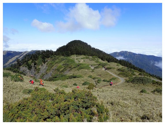
14:50 went back to “3050 Highlands”, the trailhead of Mt. Jiali. We took the left trail to Mt. Jiali.
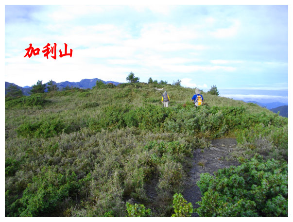
15:10 we walked through arrow bamboo groves for a kilometer long. There was a summit marker on the top and 360 degrees panoramic views. Mt. Daba and Xiaoba were on the left, and Zhudong down town was on the right. We took pictures for 20 minutes and then followed the original route to “3050 Highlands”, the intersection, going back to 99Hut.
16:50 went back to 99Hut. Having dinner and staying for a night.
D3 99 Hut / Madala Creek / 19K Forest Road / took the bus at Guanwu / back to Chiayi
04:00 摸黑下山。
04:00 started our day.
06:30 got to 19K Madala Creek suspension bridge. After taking a 10-minute break, we took the shortcut(on the right side of the shelter)to went up.
06:50 at Forest Road <17K>. took a 10-minute break and then return.
12:30 went back to Guanwu inspection station. got on bus and return.
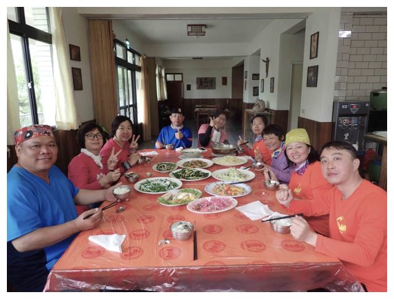
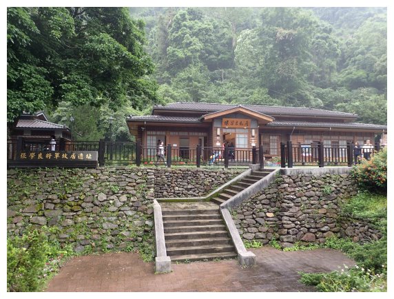
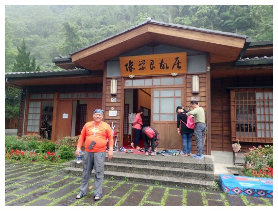
14:00 went back to Qingquan Catholic Church and had a meal. After visiting Jhang Siao Liang Former Residence and some tourist attractions, we drove to Chiayi.